Big Bend Trip
February 2nd, 2023
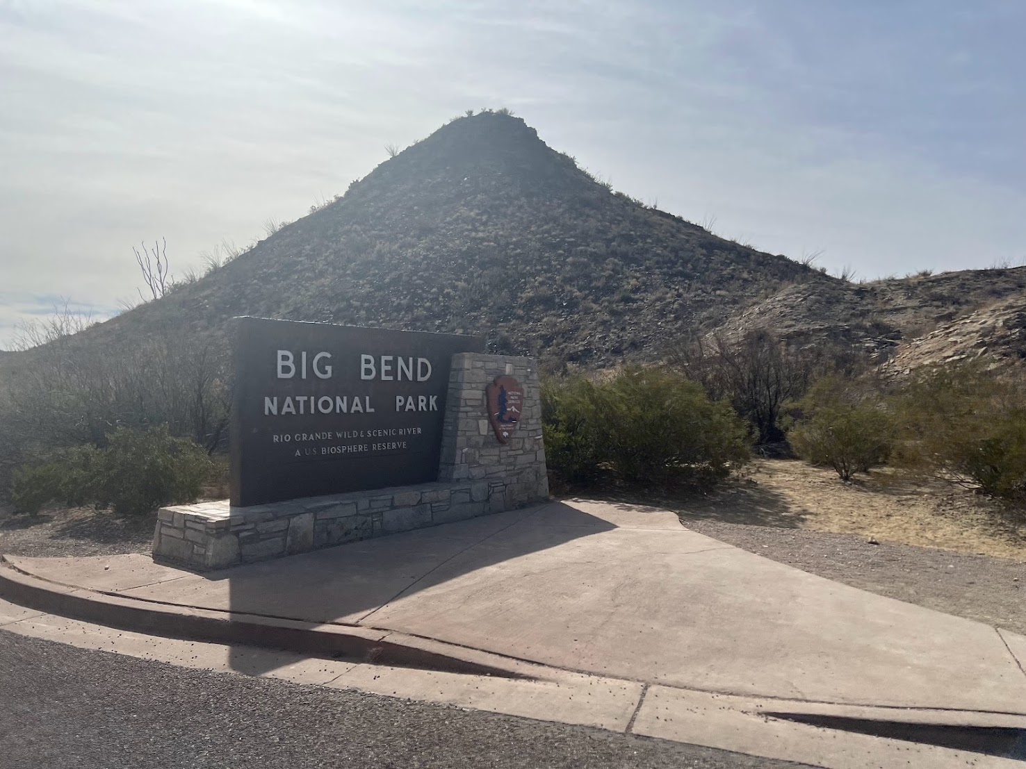
This Big Bend trip was originally planned to be done near the end of the East Coast Trip, but due to several factors (see East Coast Trip Part Nine) we canceled it. But after several weeks, we decided to go to the park. The trip was a little over one week long and we got to do several hikes as well as a bike ride in the area.
Lost Mine Trail:
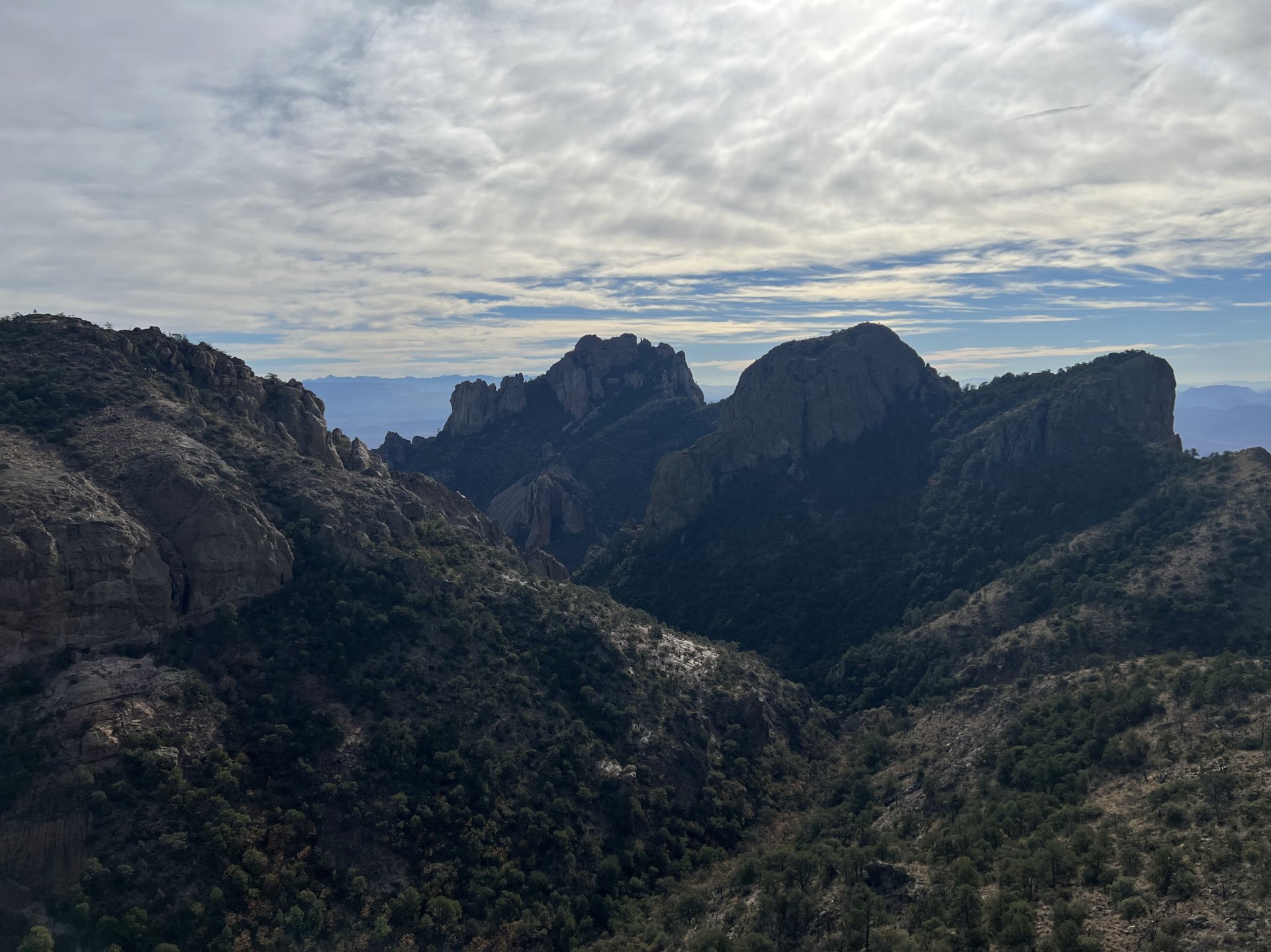

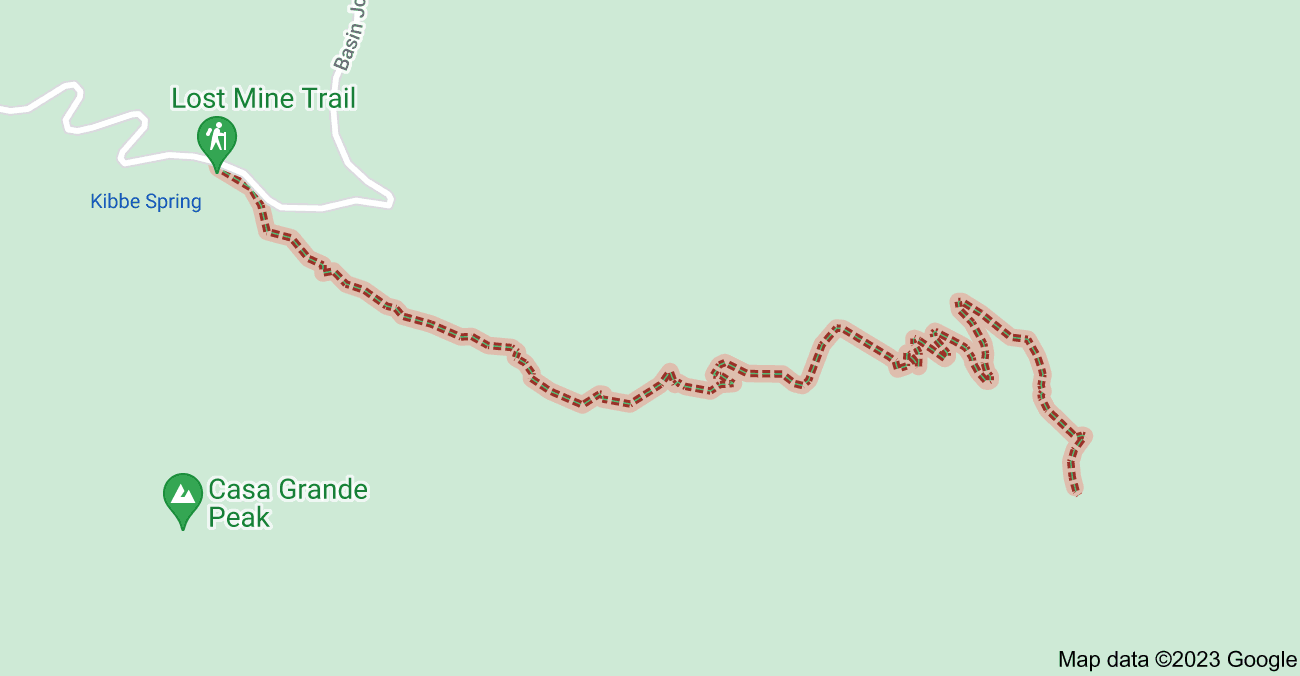
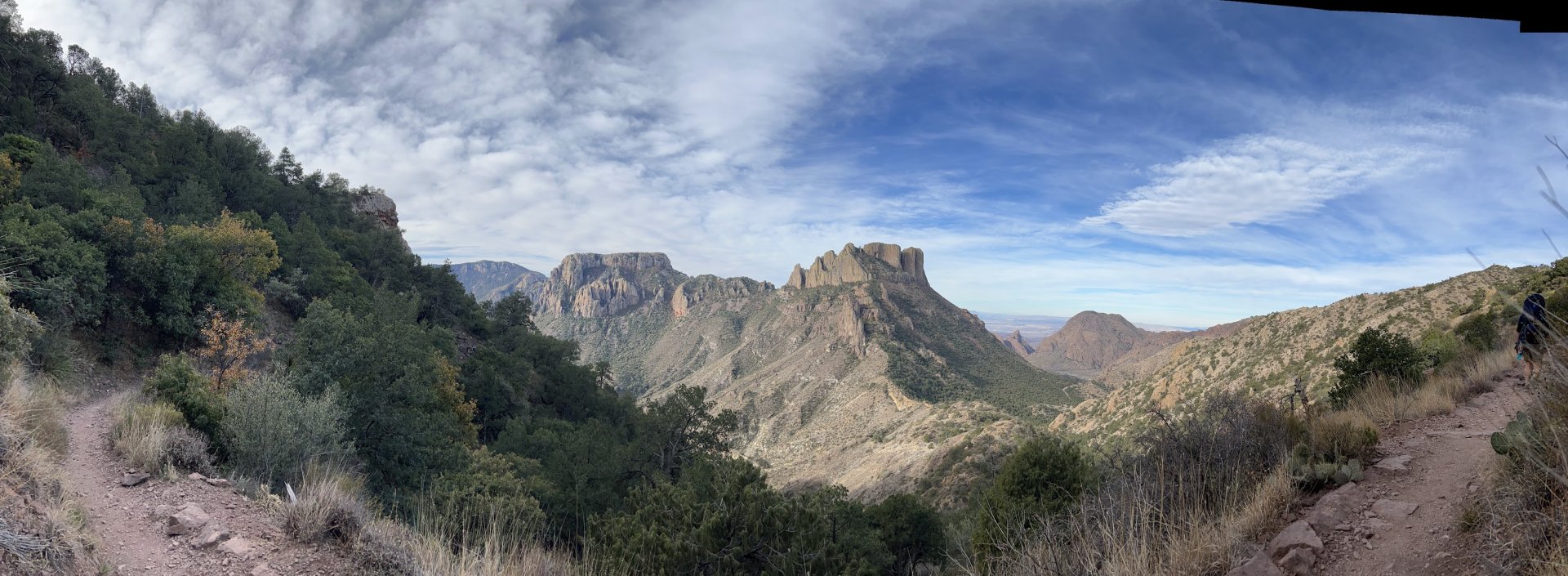
Lost Mine Trail was our first hike in the area (as well as our first hike this year). It was a roughly 4 mile trail in Big Bend National Park. This trail received its name after a local Native American tribe said to the first Americans that arrived that the mountain held a lost gold mine, but to date no evidence has been found of that. But with the history aside, this trail has some beautiful views almost the entire way. The trail near the end has two or three false summits, but the end has some beautiful views, but when we were there, it was super windy at the summit.
Lajitas Airport Bike Ride
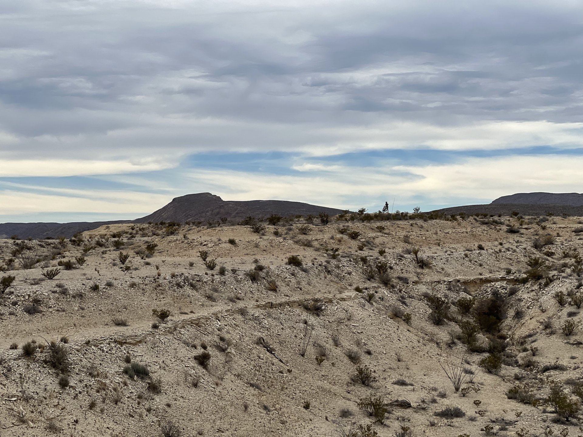
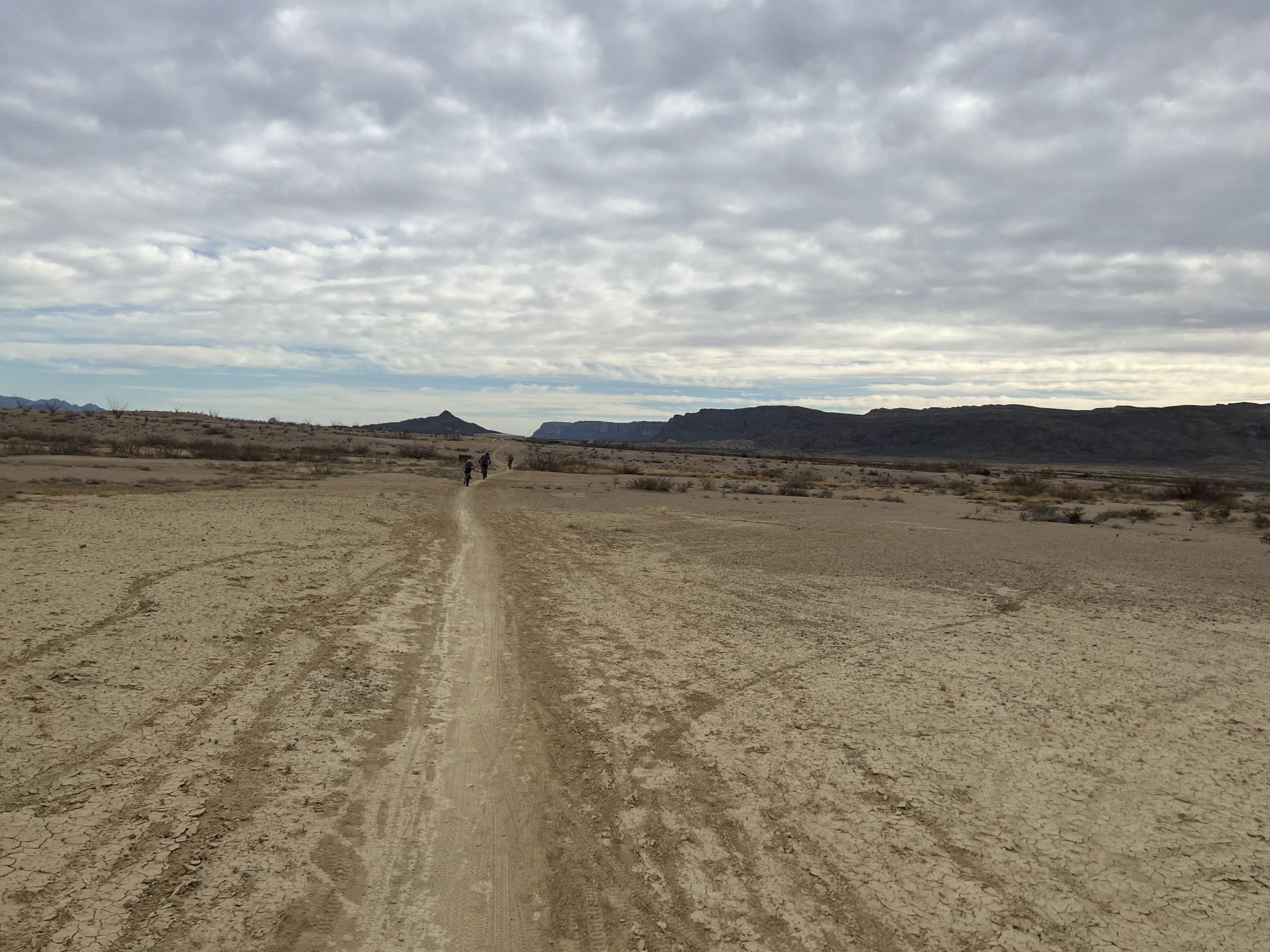
This was a short easy bike ride nearby from our campground that we did after our Lost Mine hike. It was very close to Lajitas "International" Airport. The airport only serviced a couple private aircraft, but it nearly went into Mexico, taking off from it you would almost immediately be in Mexico! The ride was a pretty simplistic ride and at one point, there was an awesome view of the airport and Mexico in the background (sadly we didn't get any pictures).
Santa Elena Canyon Trail
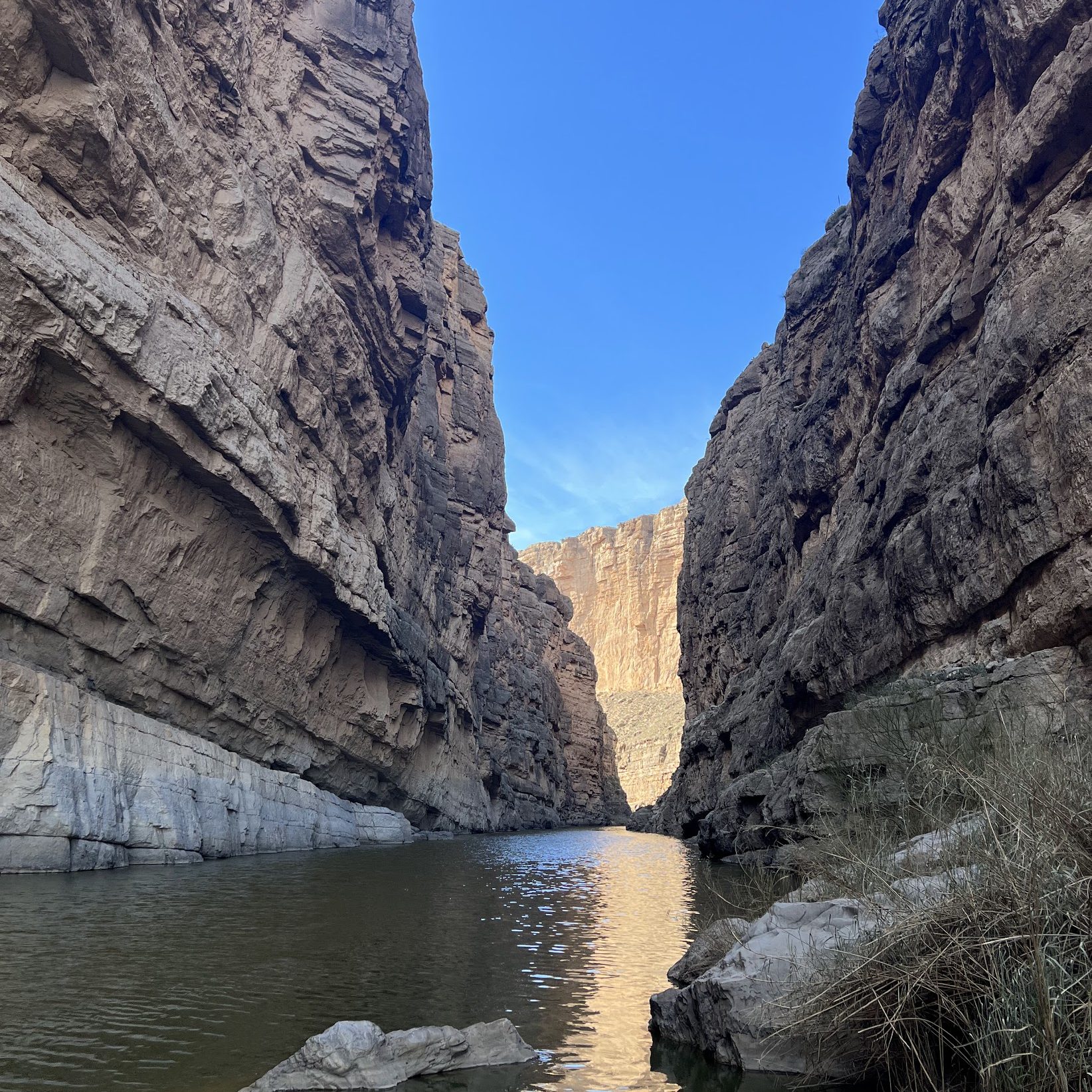
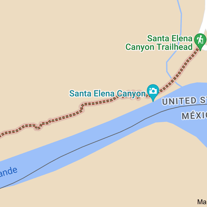
The day after hiking Lost Mine and riding by Lajitas International Airport, we went to Santa Elena Canyon and did a two mile hike along the Rio Grande River and had some awesome views along the last half of the trail. We were literally only 20' away from Mexico (see top left picture). The first half of the trail had tons of gnats and then all of the sudden they were gone for about a mile of the trail.
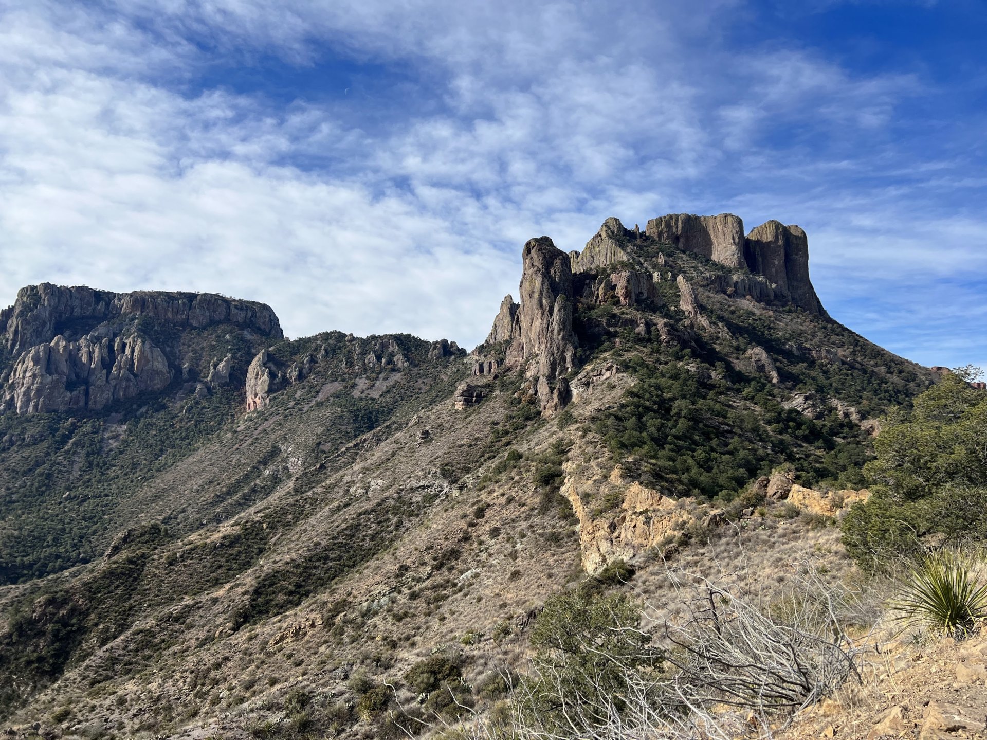
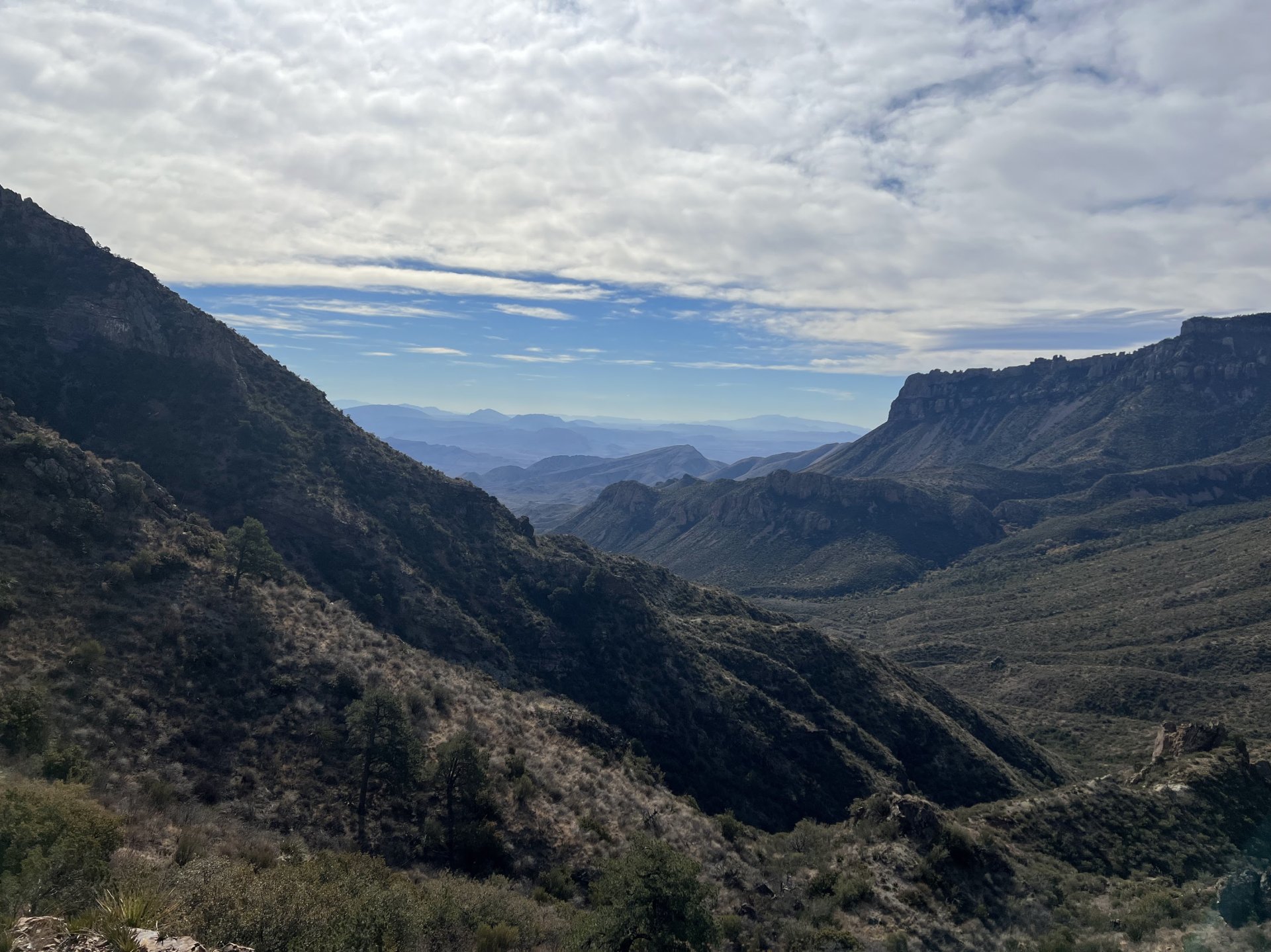
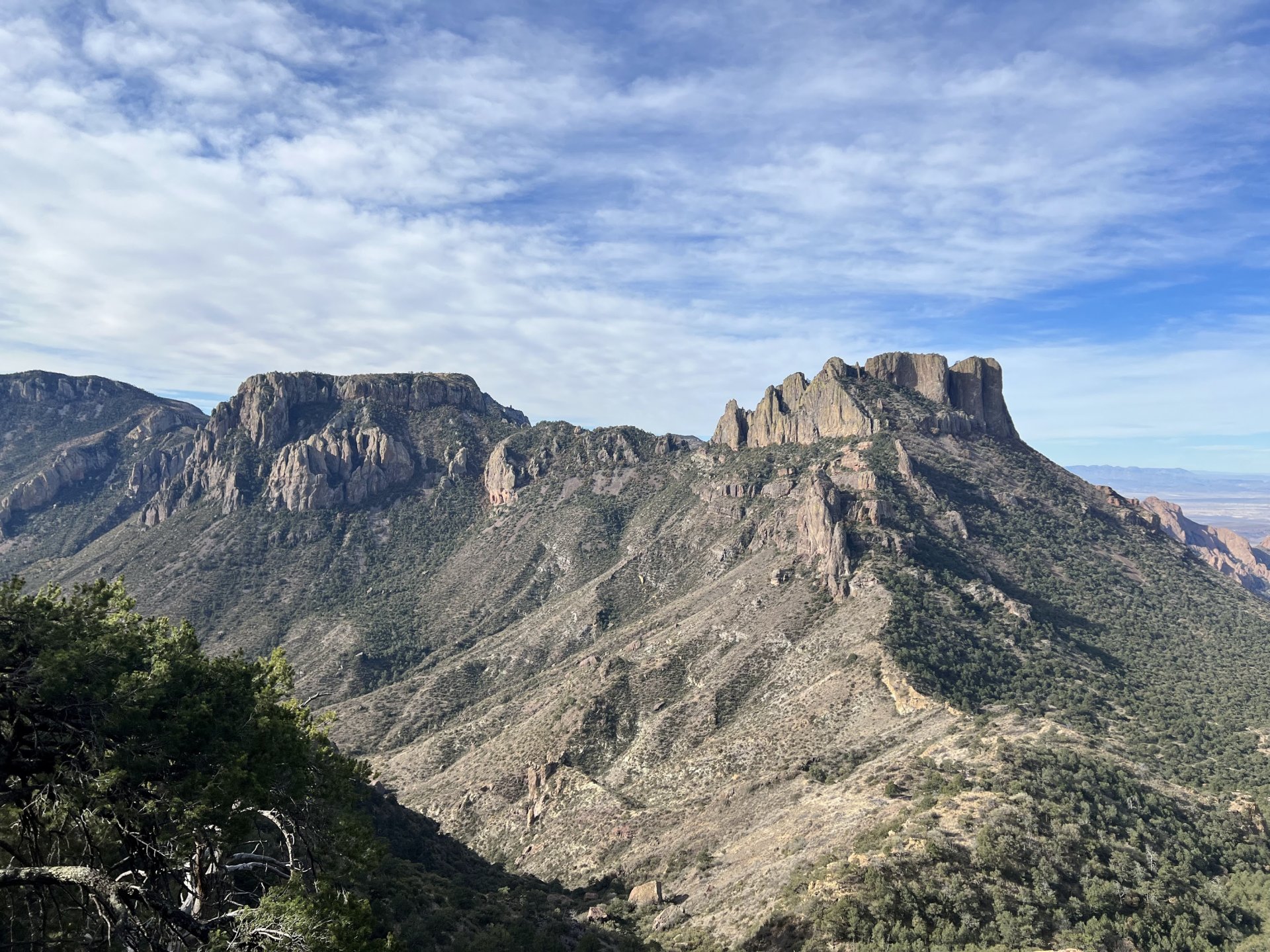
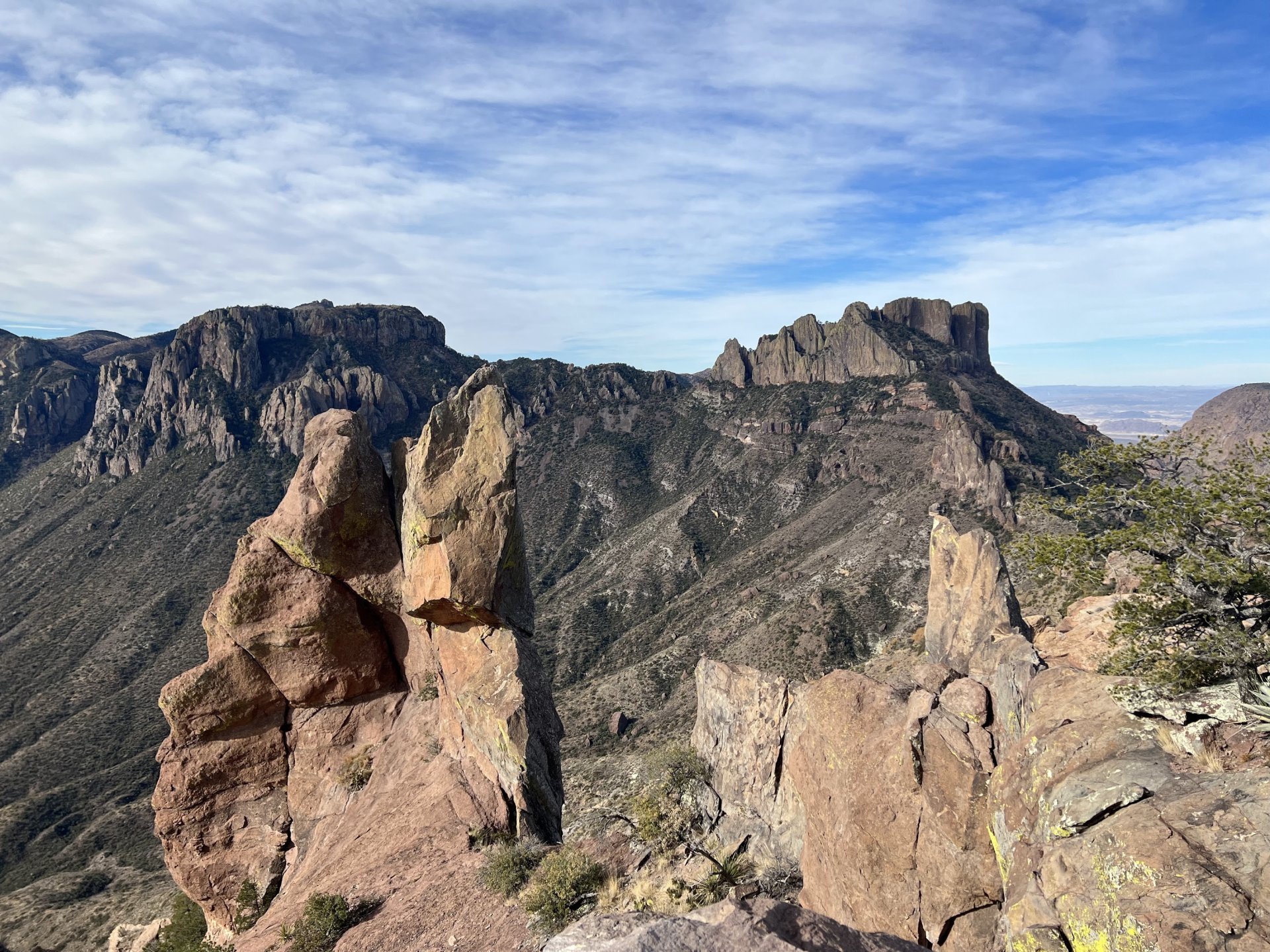
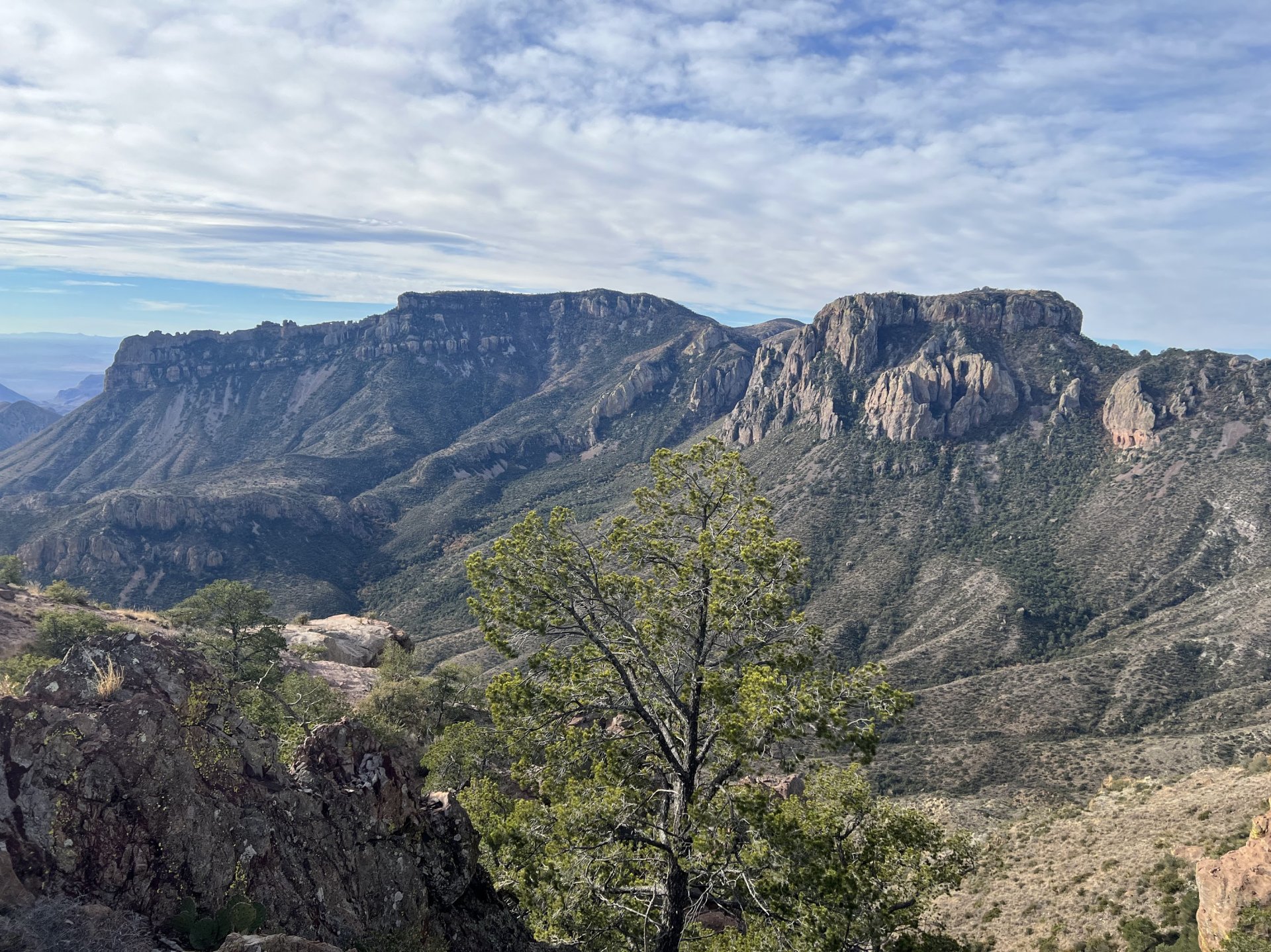
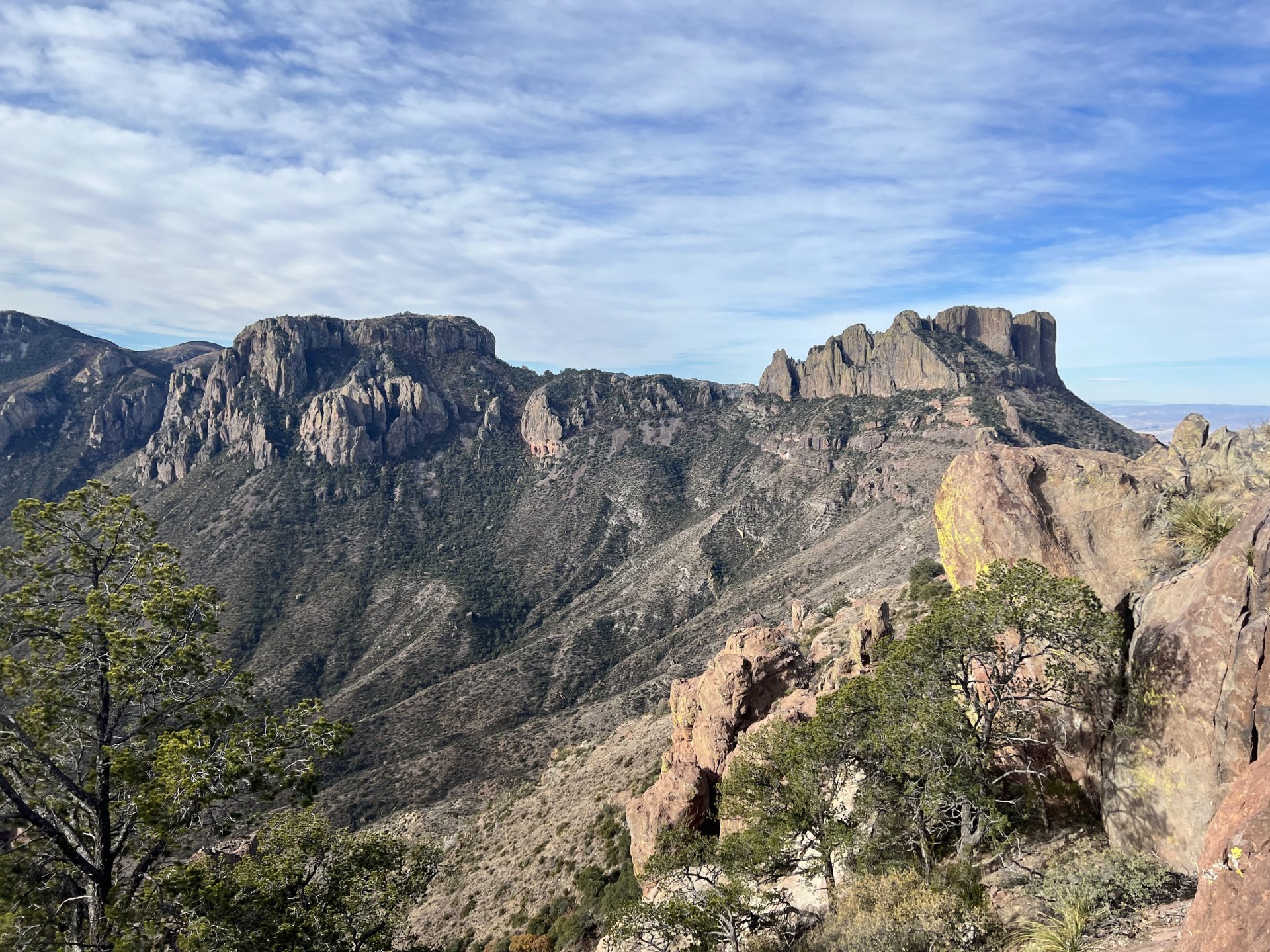
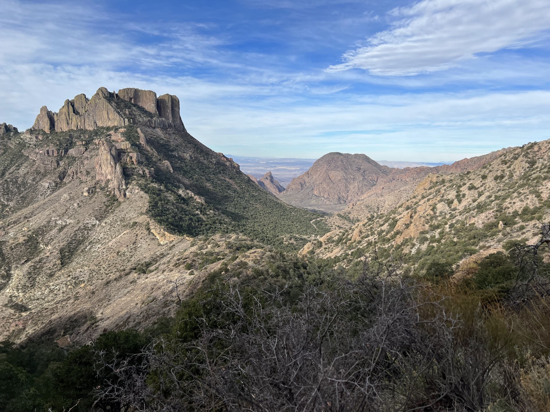
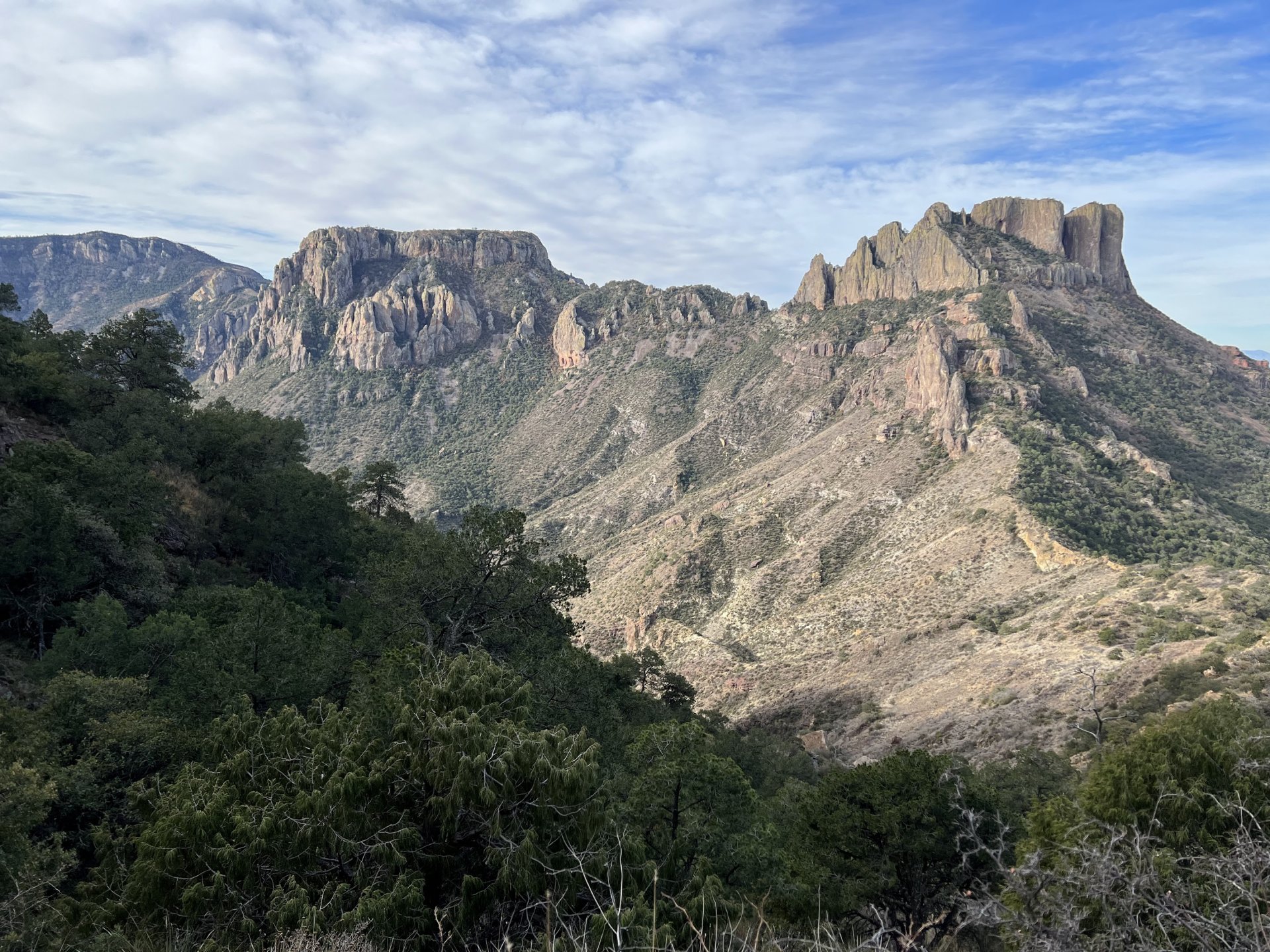
Emory Peak Trail
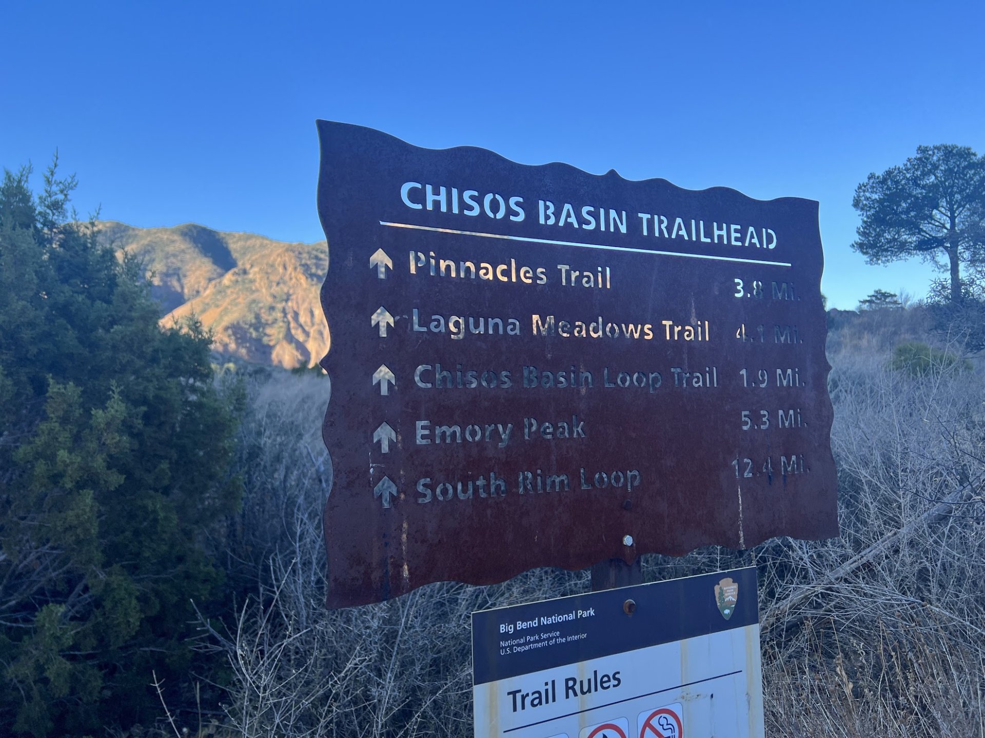
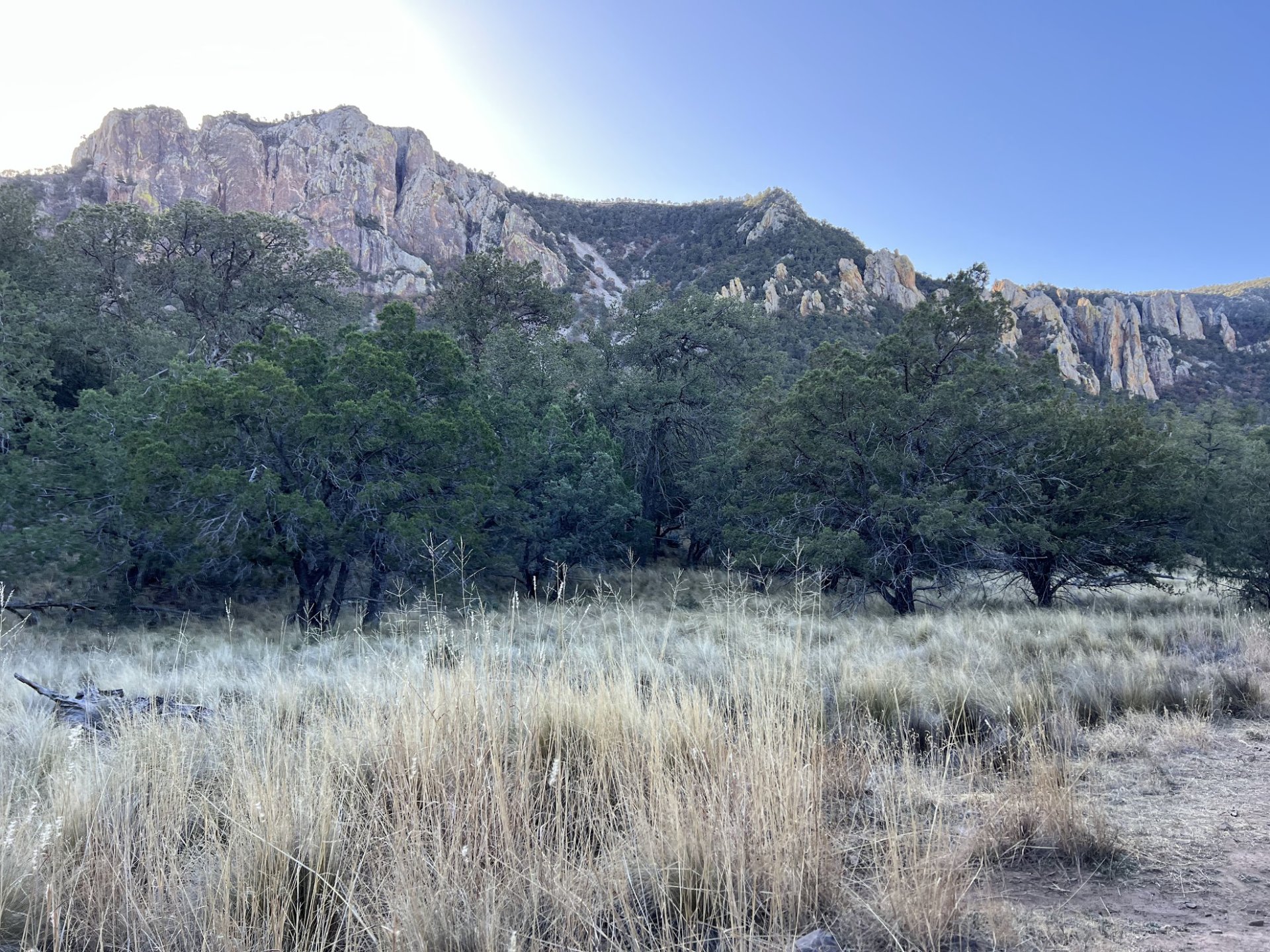
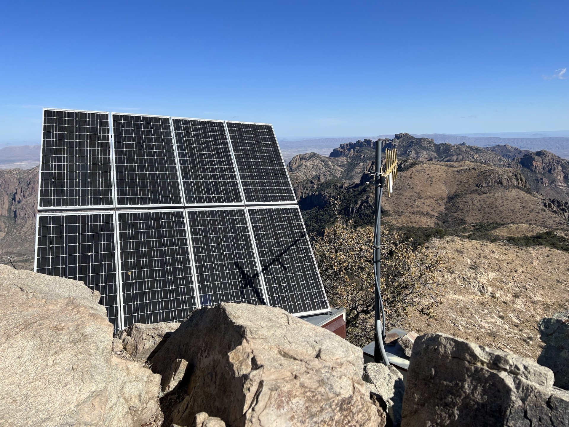
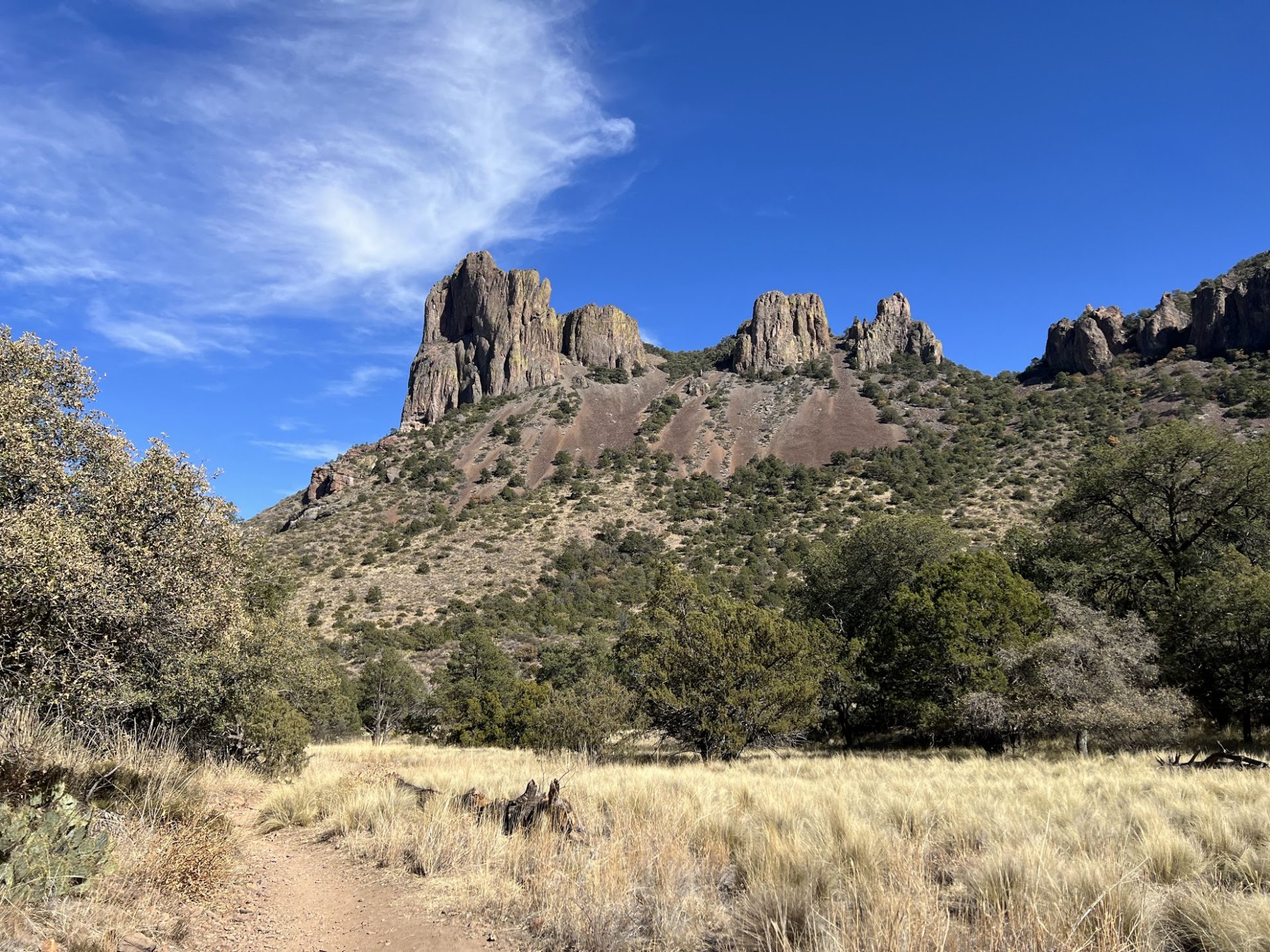
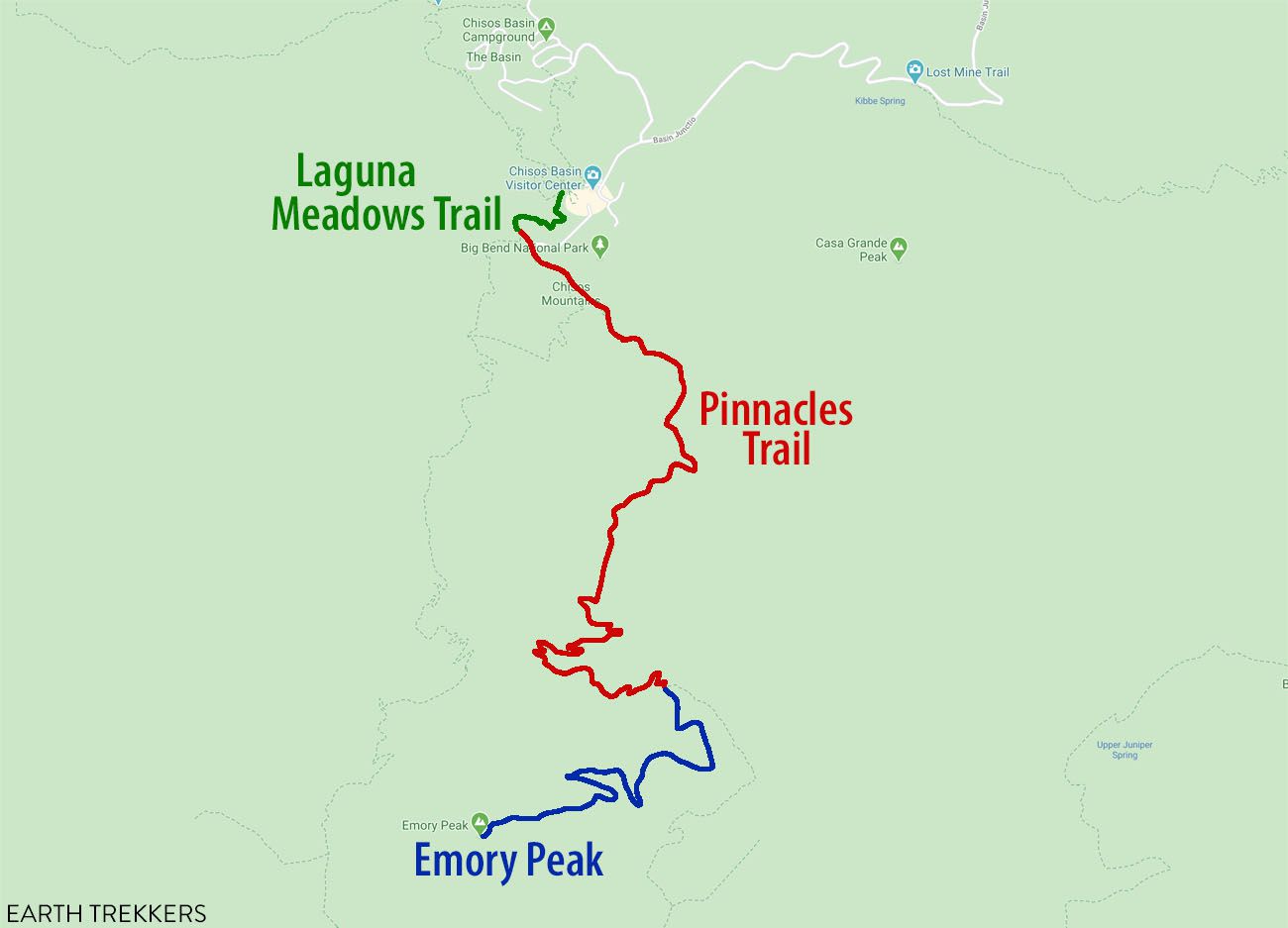
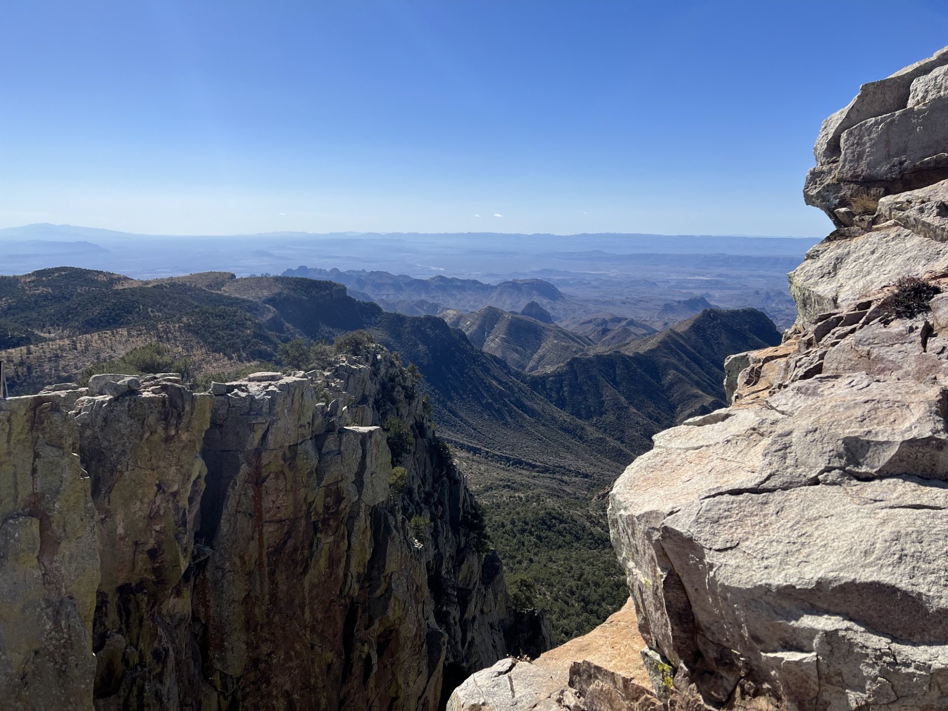
The day after we did Santa Elena Canyon, we hiked Emory Peak trail. Emory Peak was a pretty cool trail with several backcountry (backpacking) campgrounds along the way. At the end there is two huge rock formations side by side with one being slightly larger than the other. At the top of them, there is some awesome 360º views of the Big Bend National Park (it is also the tallest point in the entire park!), sadly though, there is several solar panels blocking some of the views.
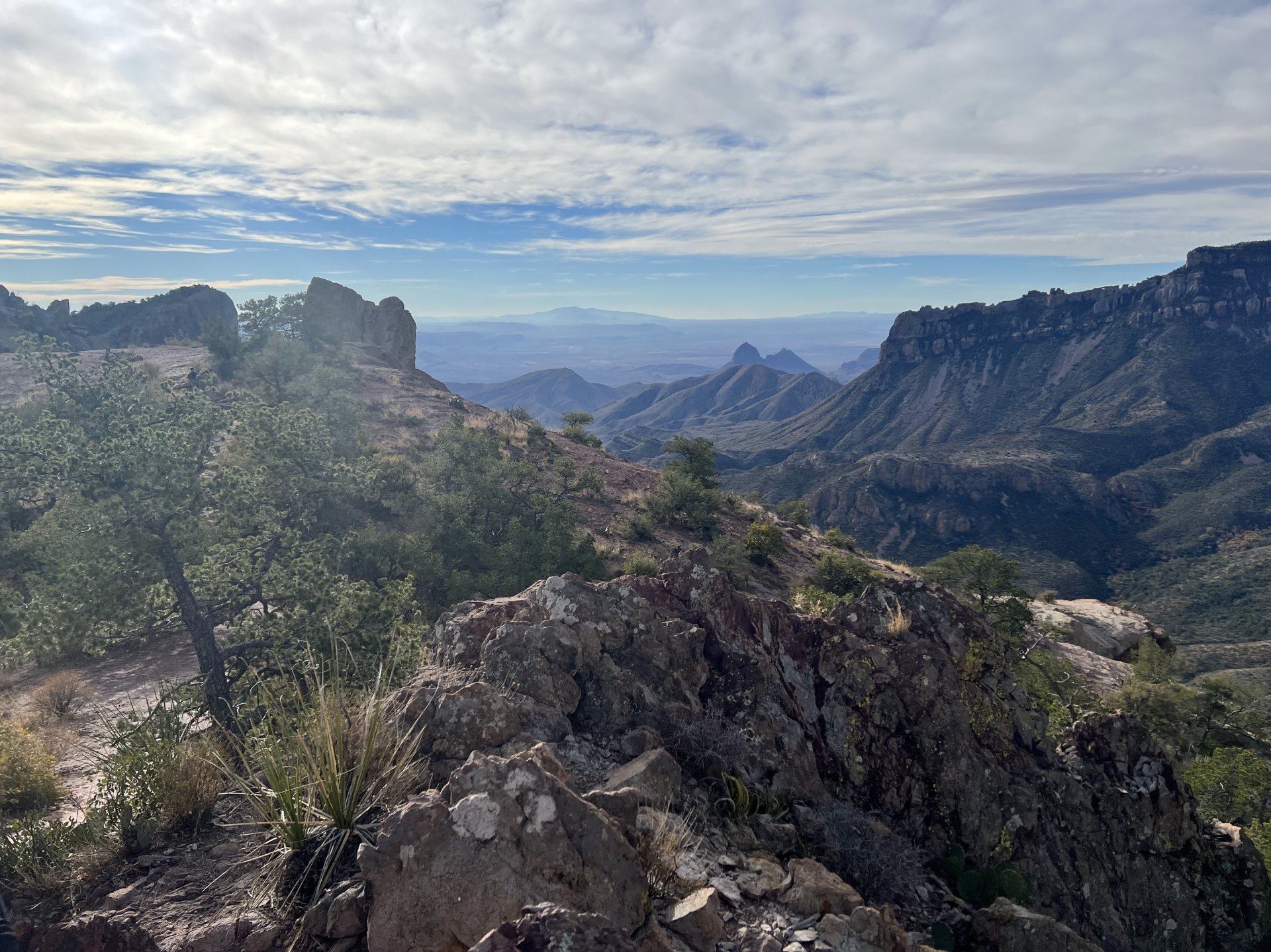
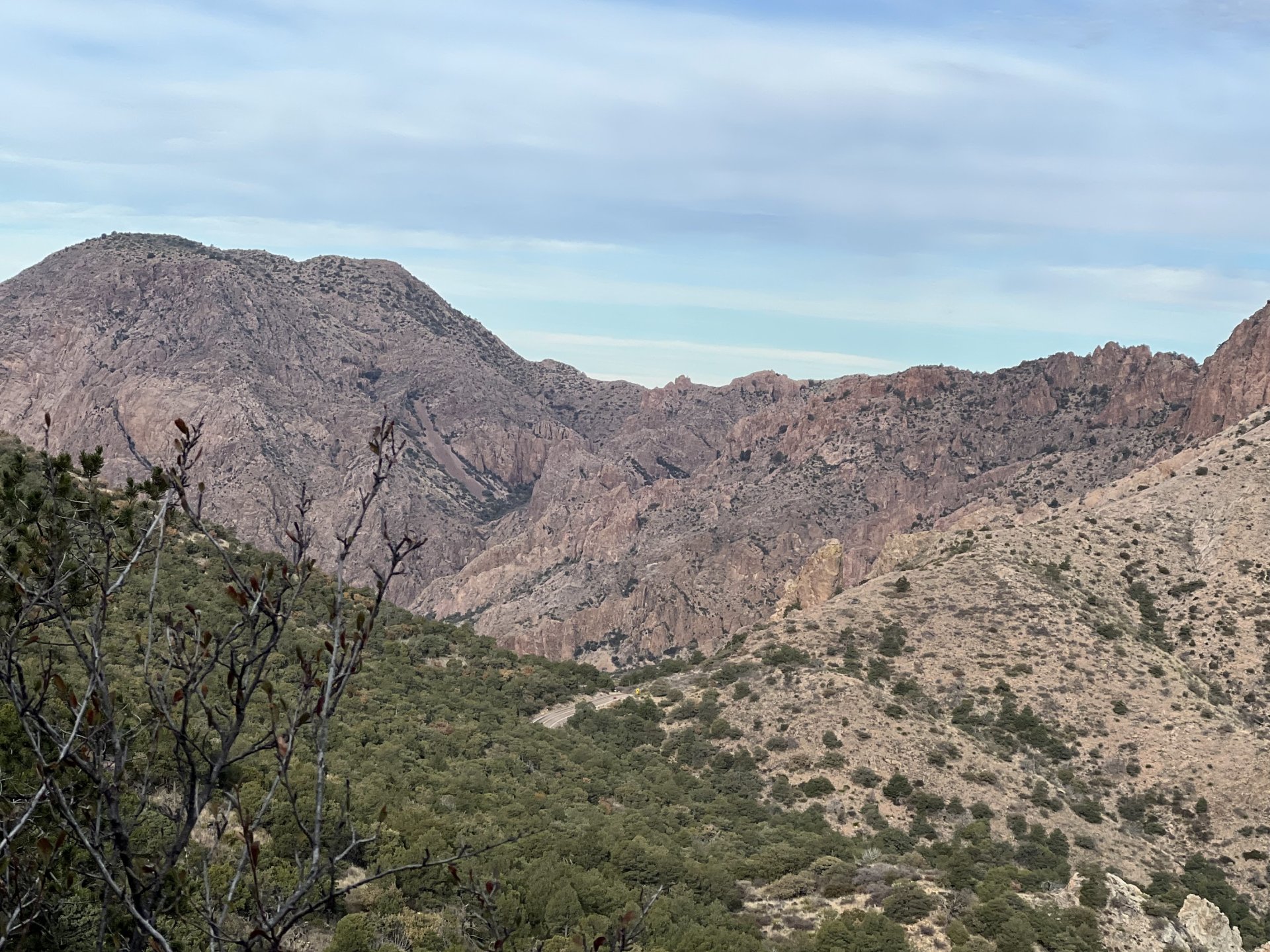
Window Trail
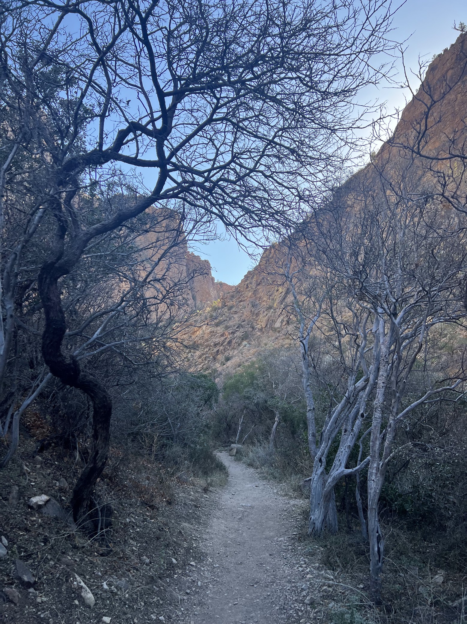
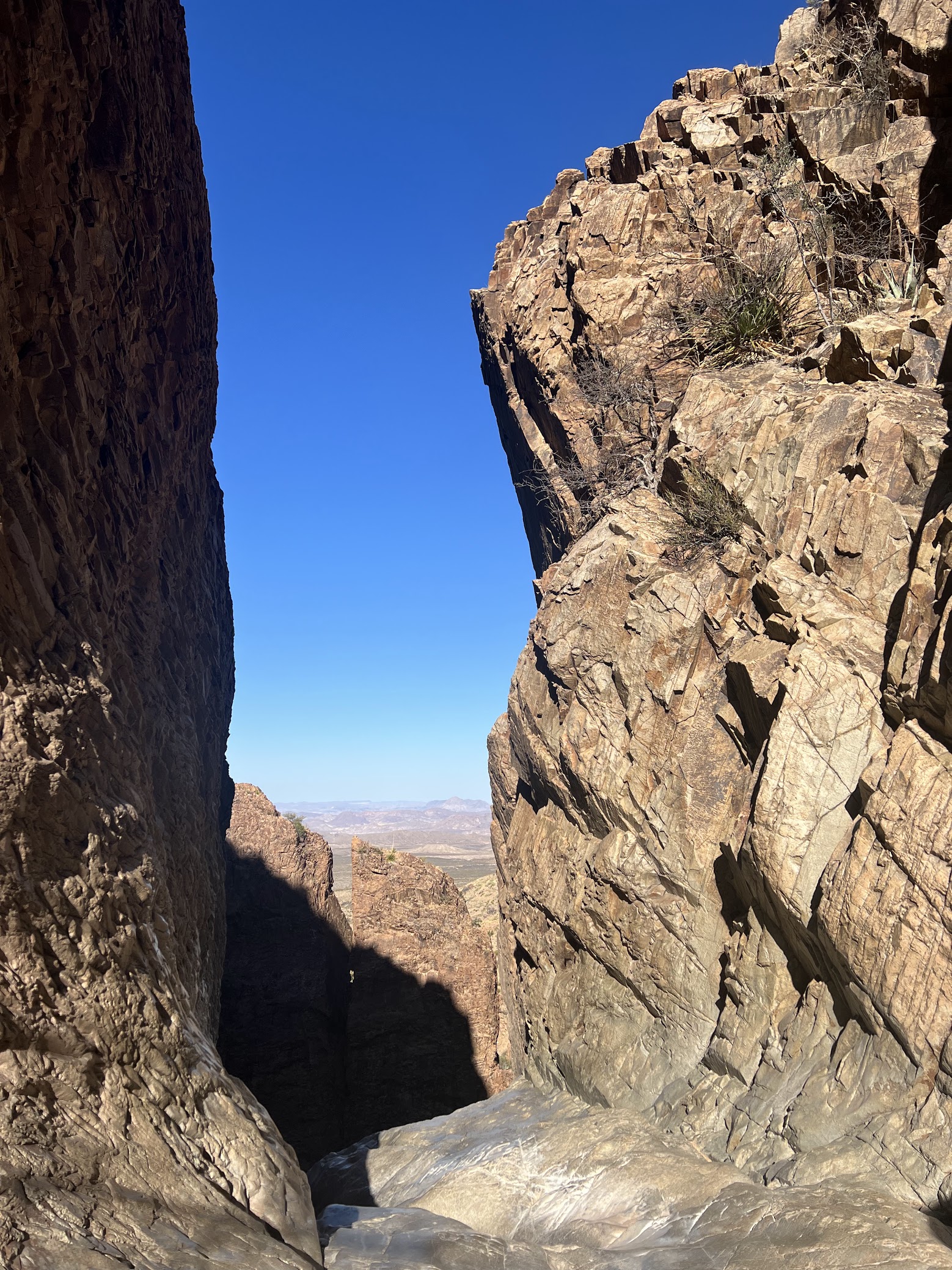
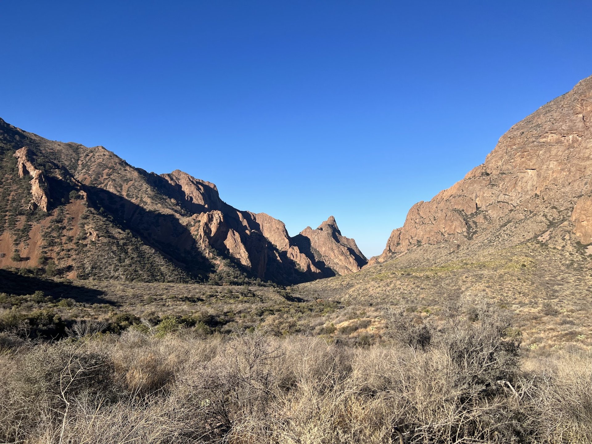
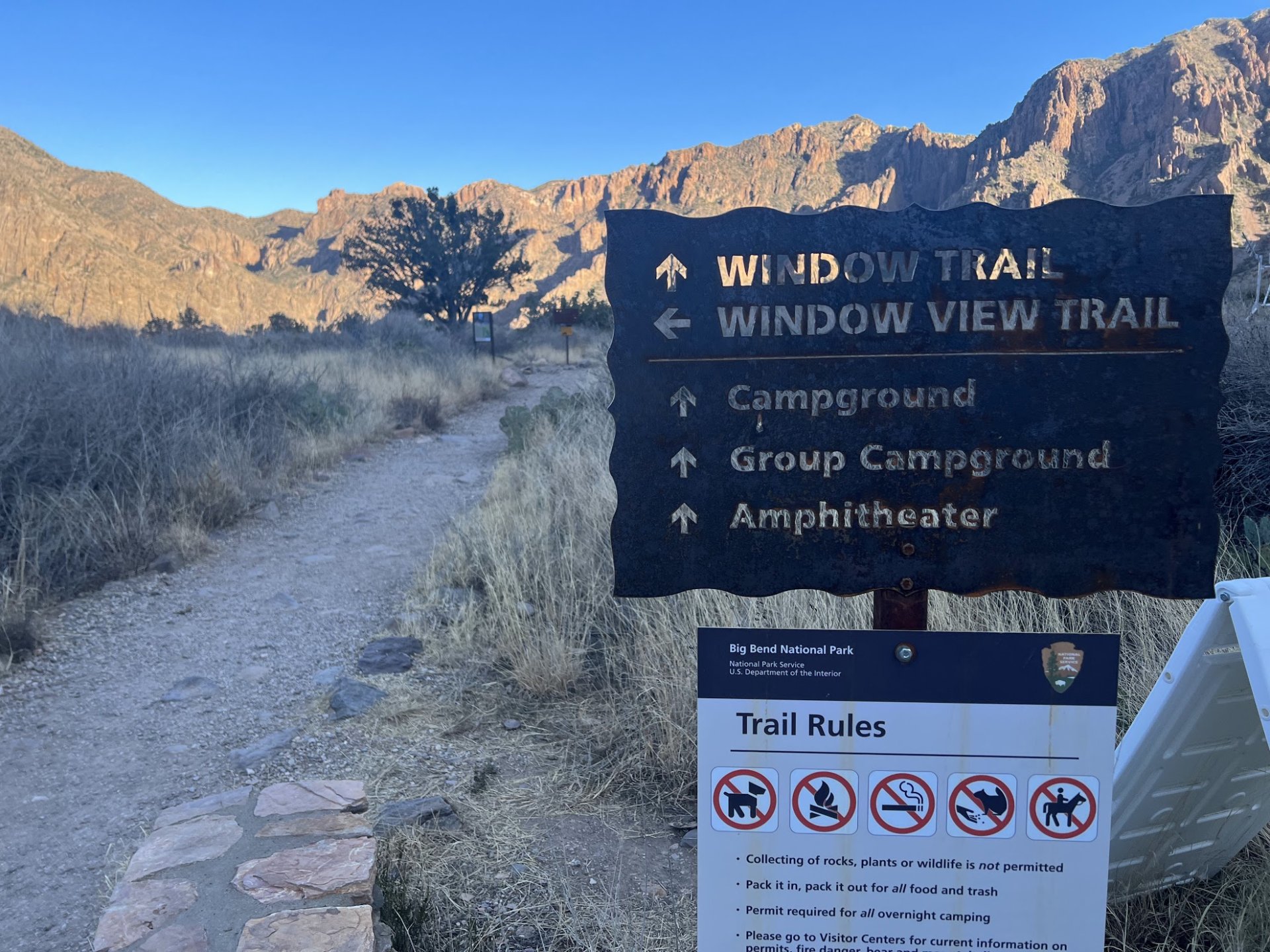

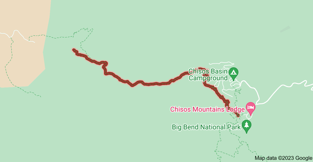
Our last hike here in Big Bend was the Window Trail. The trail is several miles long and ends about a 1/4 mile after merging with a dry creek bed. Then, after a 1/4 mile on the creek bed, you reach this "window" and when water is flowing it goes through the "window" and down a 100' waterfall! This was our last hike on this trip.