
Colorado Trip Part Three
August 31st, 2023


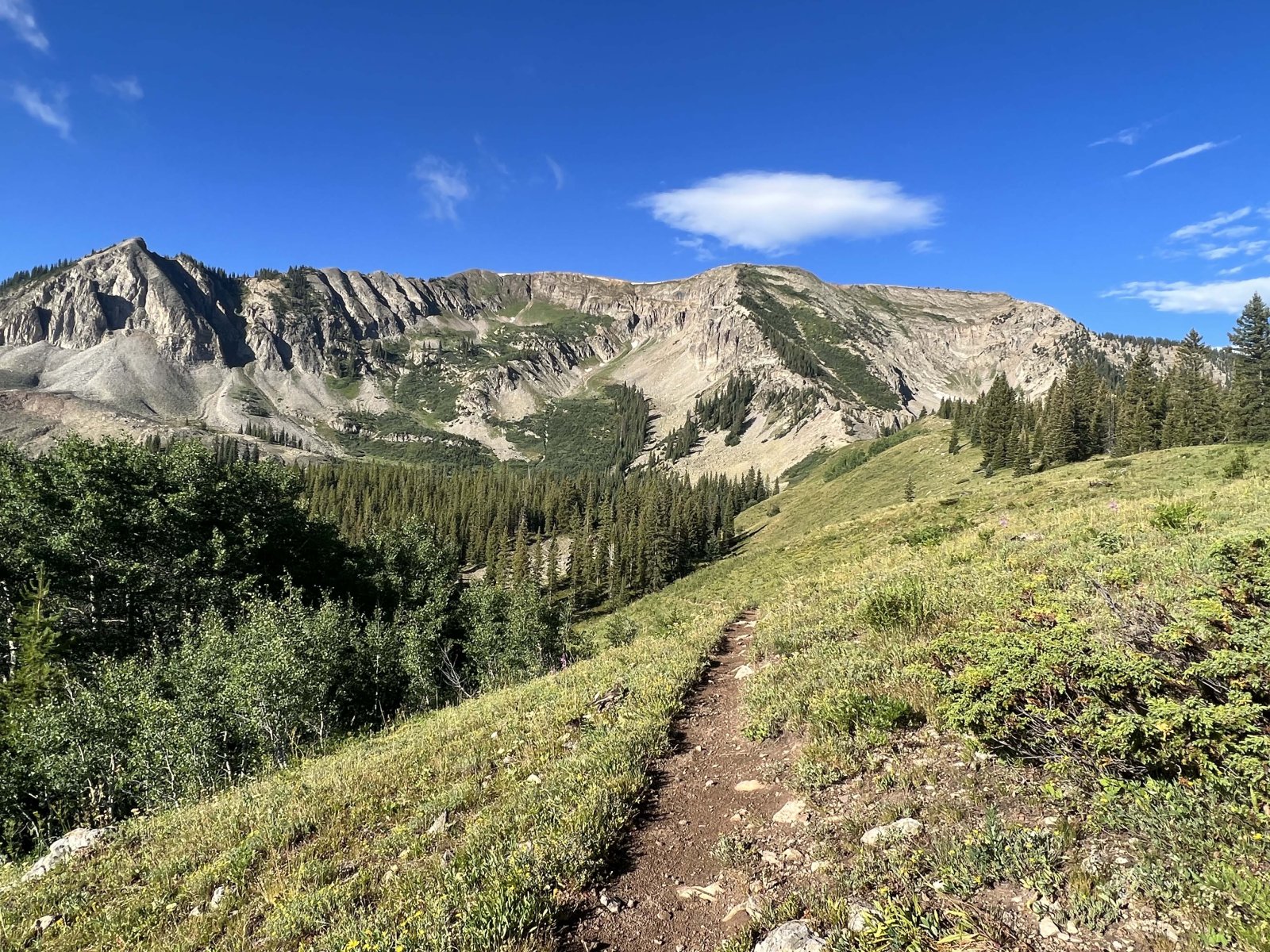
After Grand Lake, we went to Ouray, "The Switzerland of America", where we stayed for one week. While we were here, we did three hikes including my first 14er.
Here is a list of trails we hiked while at Ouray:
- Upper Cascade Falls Trail/Chief Ouray Mine
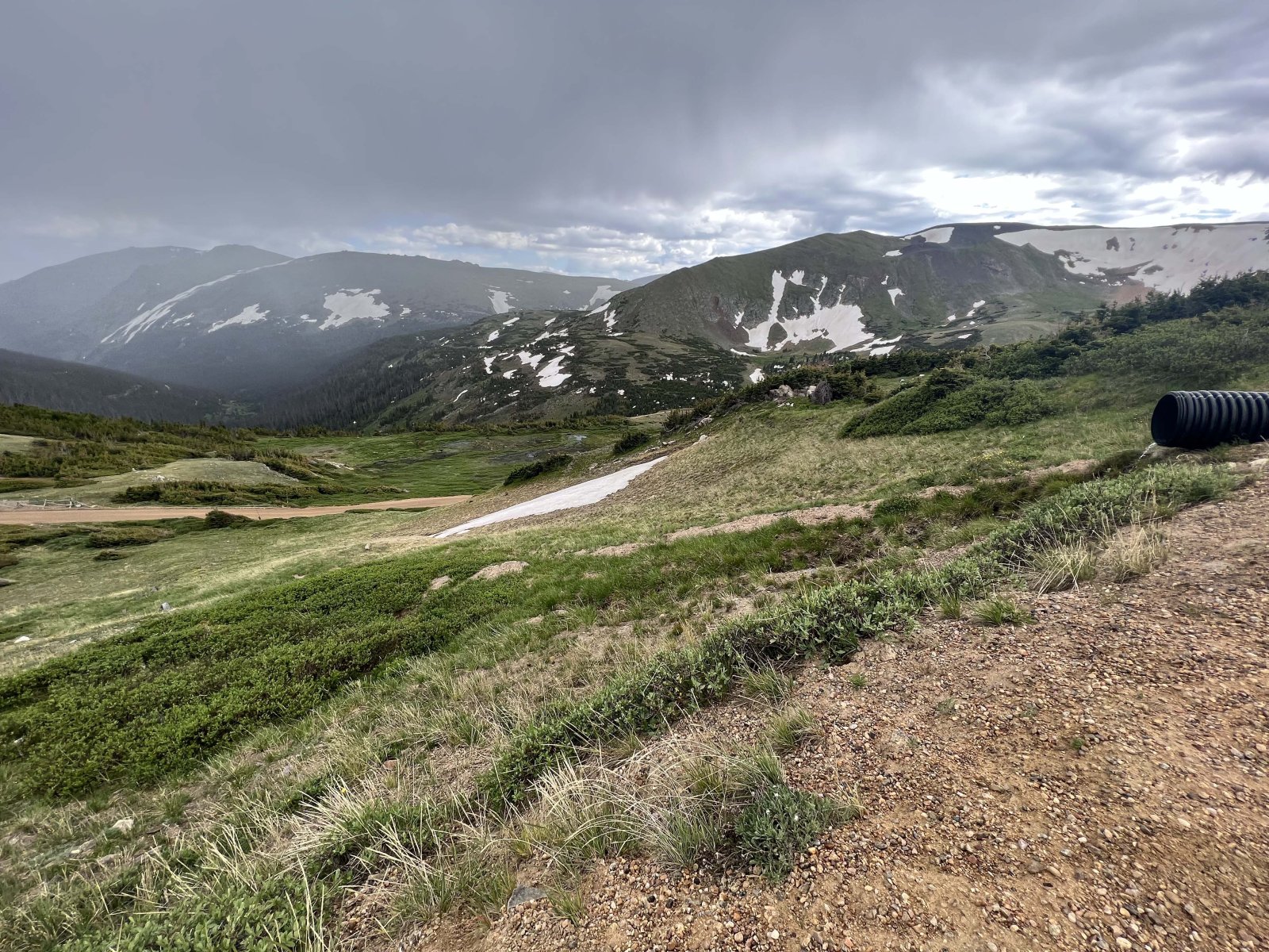
- Ouray Perimeter Trail (Section TBD for this Post)
- Mt. Sneffels (My first 14er)
Upper Cascade Falls Trail/Chief Ouray Mine
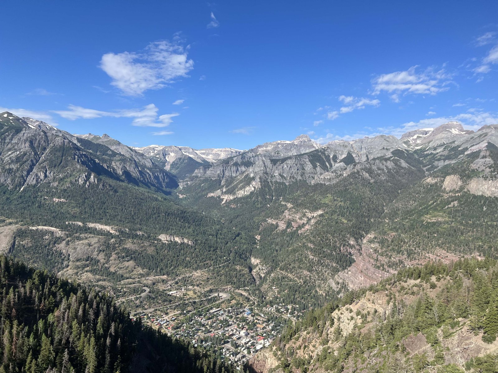
Looking south towards the San Juan Mountains (Red Mountain)
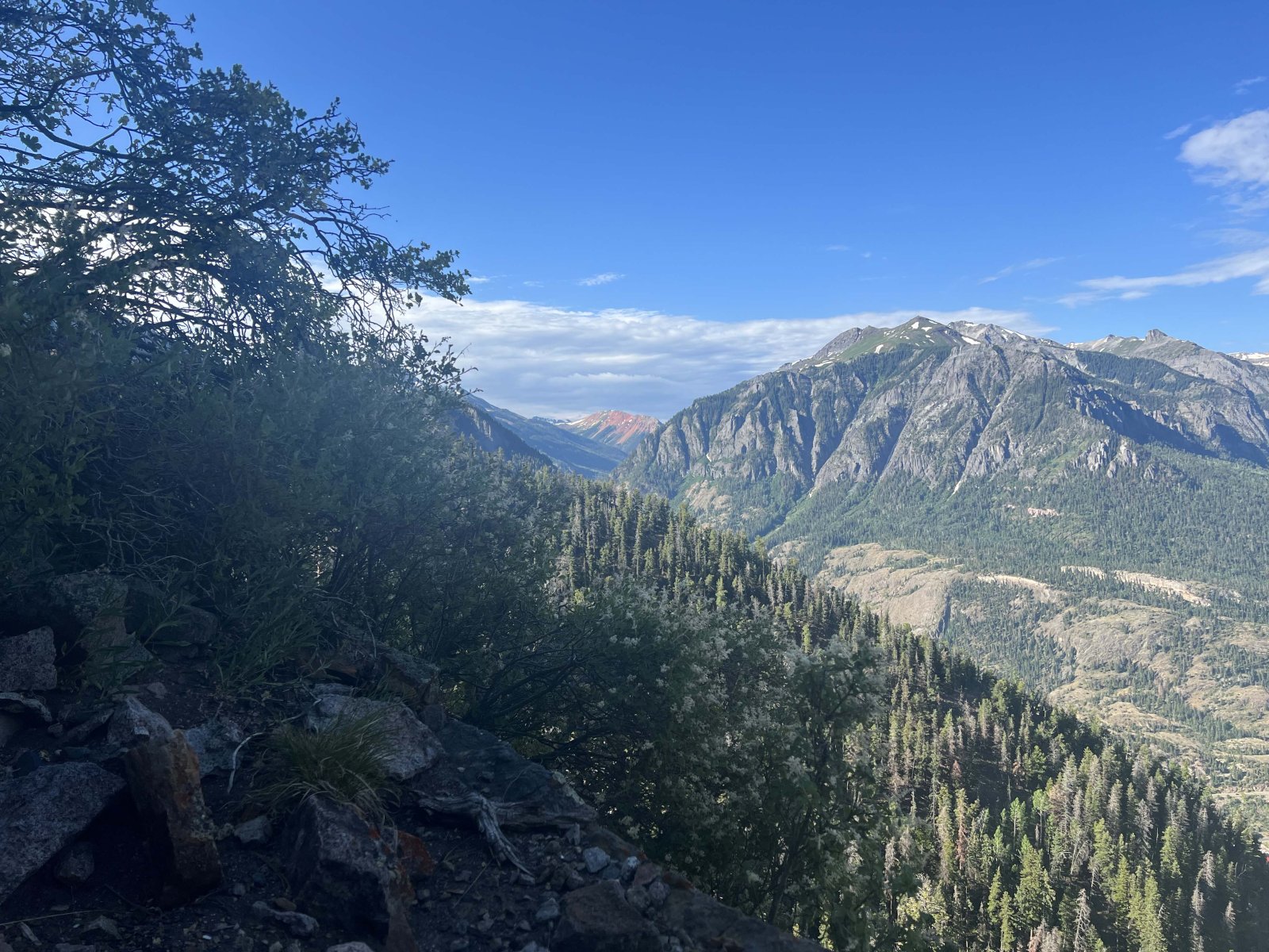
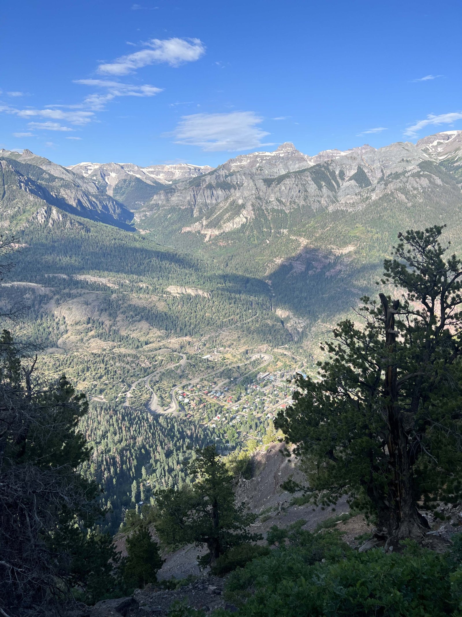
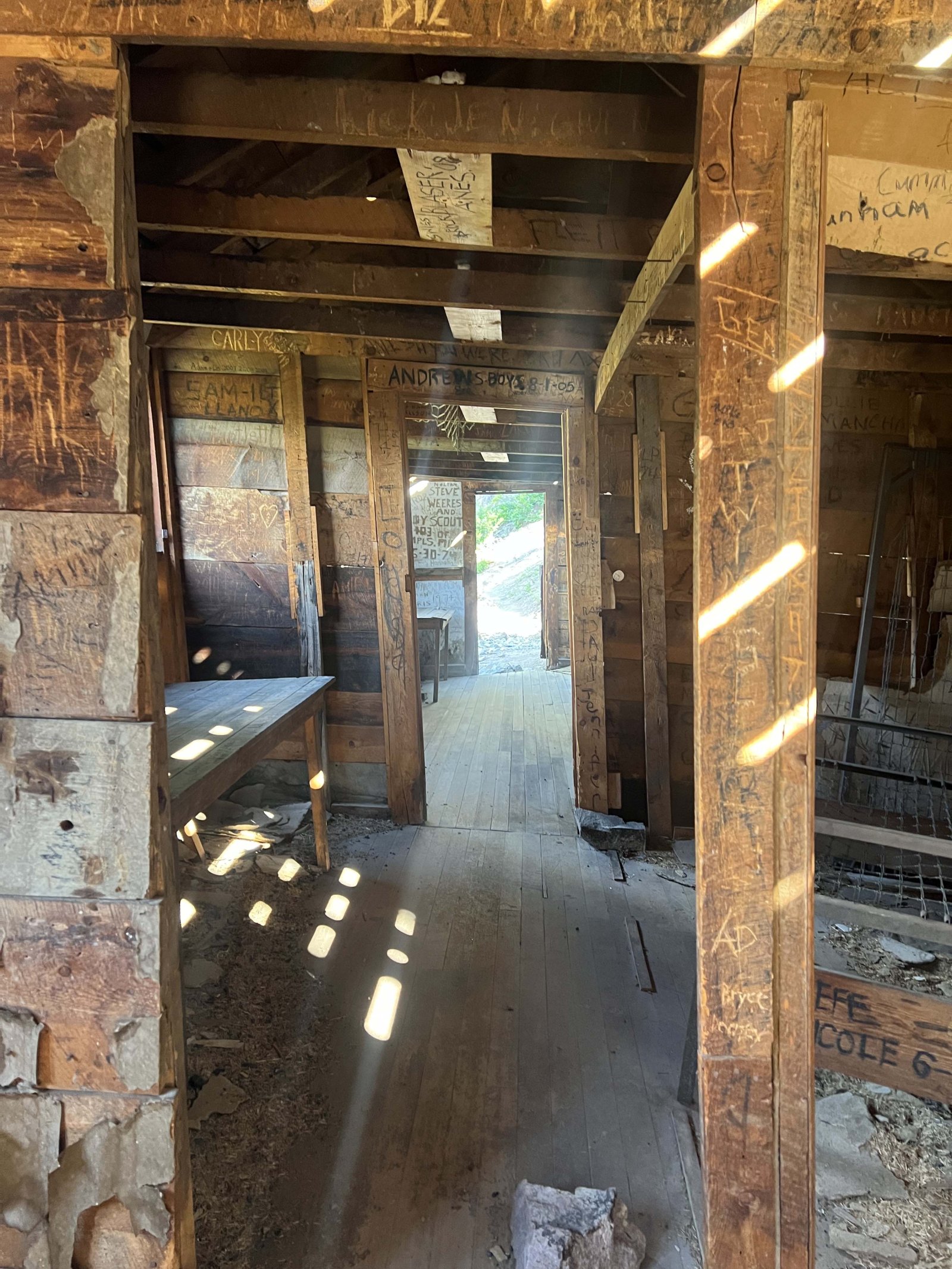
Chief Ouray Mine was our first hike at Ouray, and also the hardest hike to date on this trip. This hike led us to several old mineshafts perched on the side of the cliff overlooking Ouray. Unfortunately, due to erosion, we couldn't make it the last 100 or so feet, but got to have an amazing view of town from an abandoned mining building used either to store stuff or for lodging.
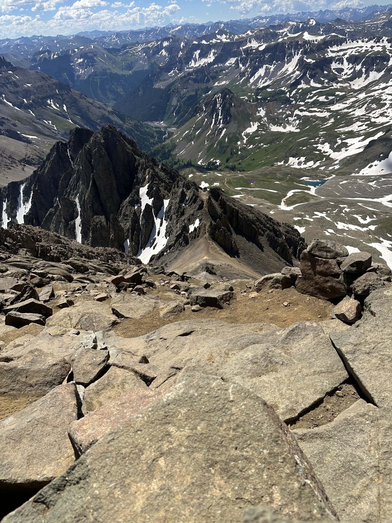
Mt. Sneffels (My First 14er)
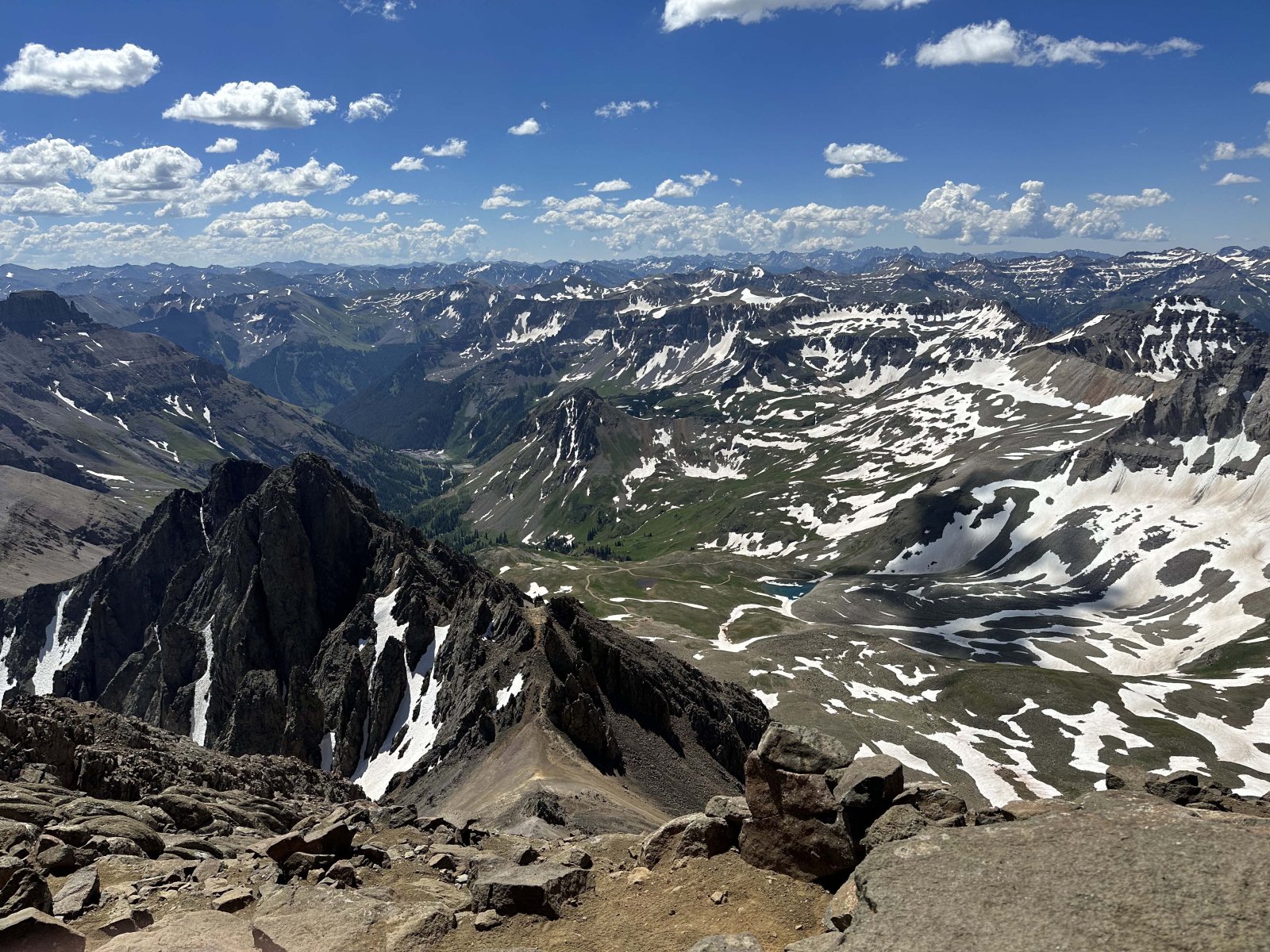
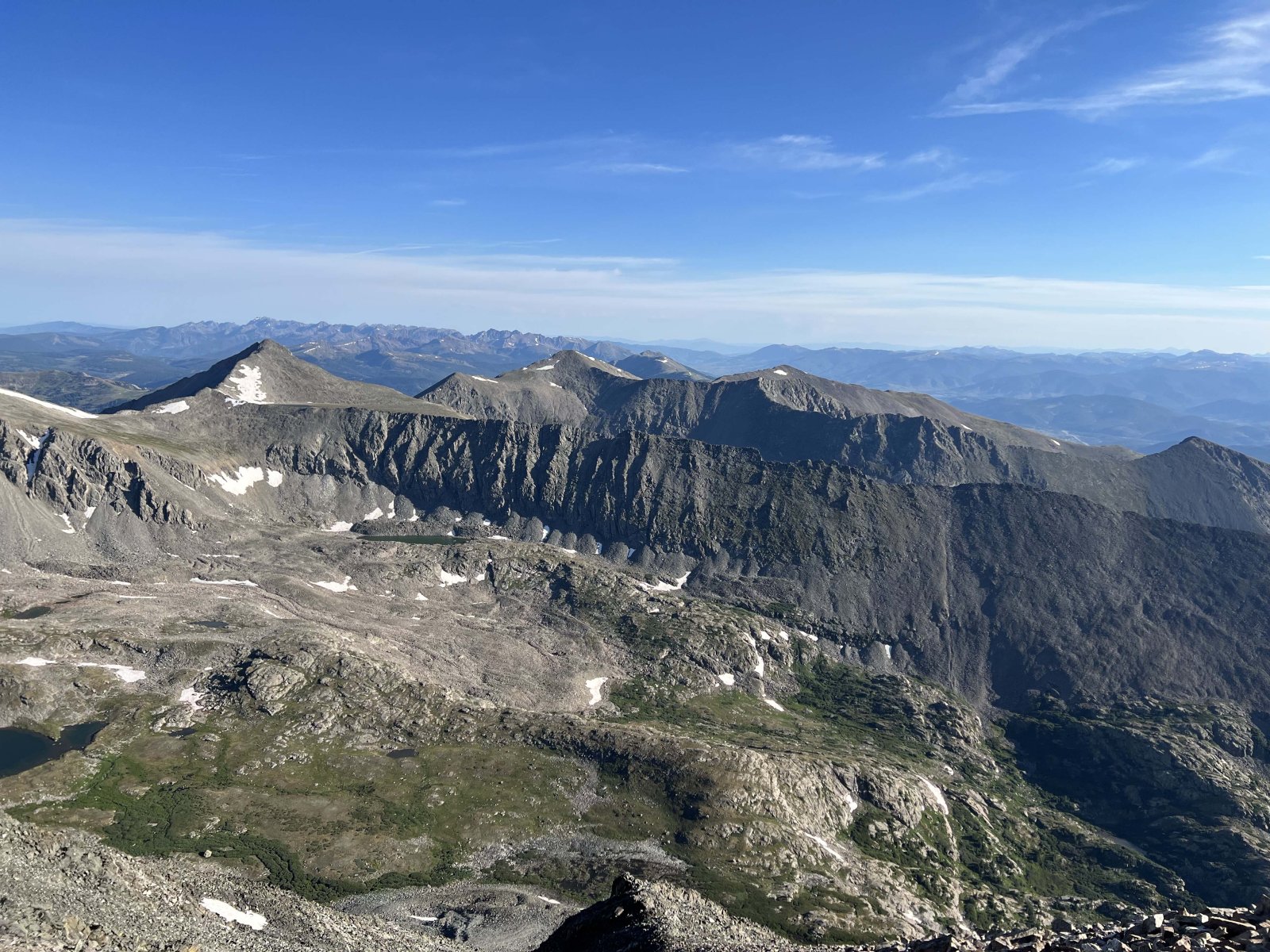
Our last hike at Ouray was more of a climb, going to the summit of Mt. Sneffels (the 27th tallest 14er in Colorado) making this my first "official" 14er. The first and last 1/3 of the hike was just a nice semi-easy ATV dirt road. This was difficult only because the elevation of Yankee Boy Basin being over 12,000' above sea level, compared to Ouray being only about 7,800' above sea level, a difference of almost 5,000' - all before even starting the hike.
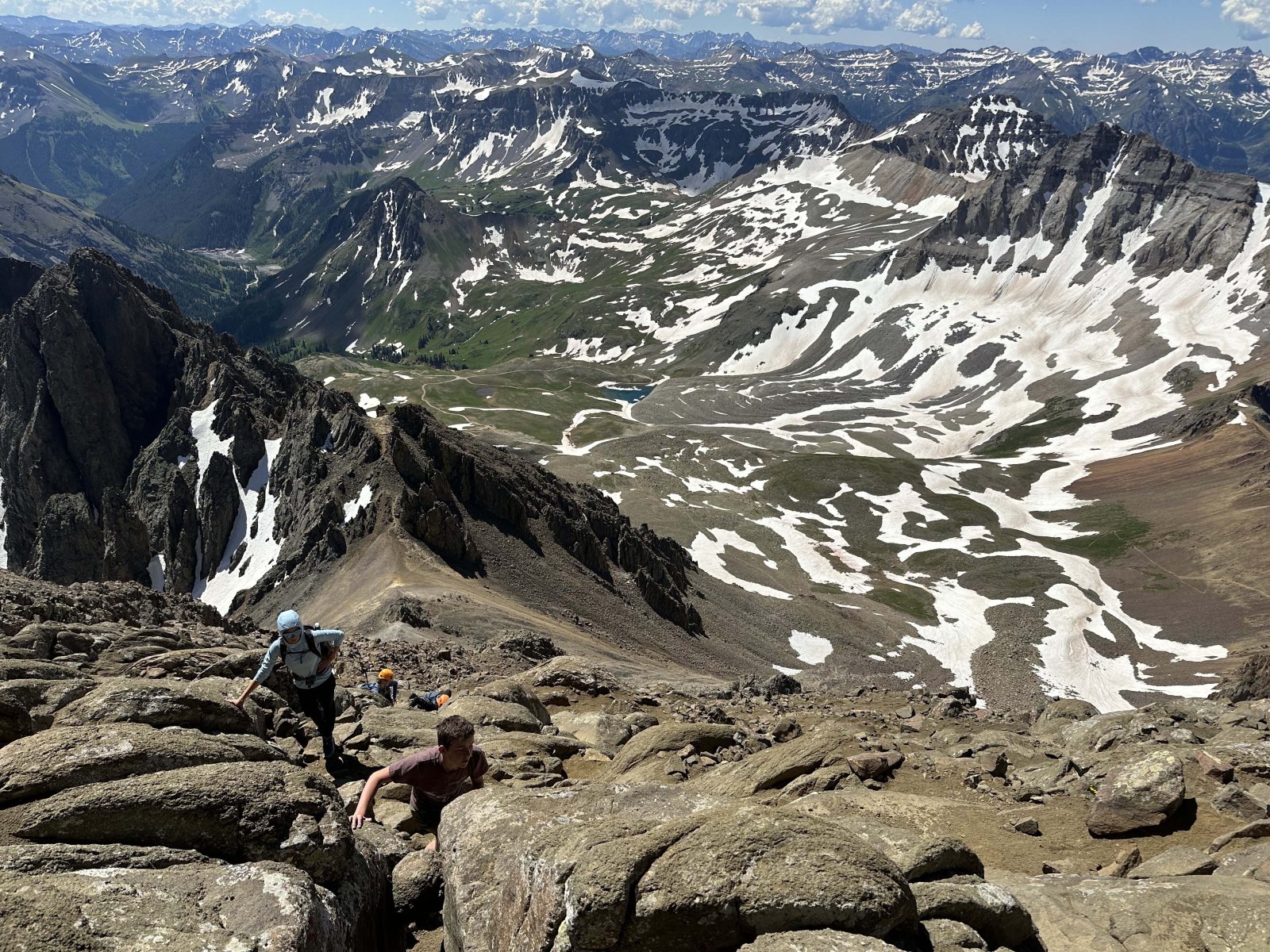
We left for this trail after 8:00 and getting to the trailhead by about 8:45. Due to that, we started very late by 14ers standards (people typically start hiking at 2:00-5:30 depending on the summit). We reached the 13,560' saddle known as "Lavender Col" by 9:30-10:00, before heading up a "couliour" filled with snow, which is basically a steep, narrow gorge near the top of an alpine mountain.
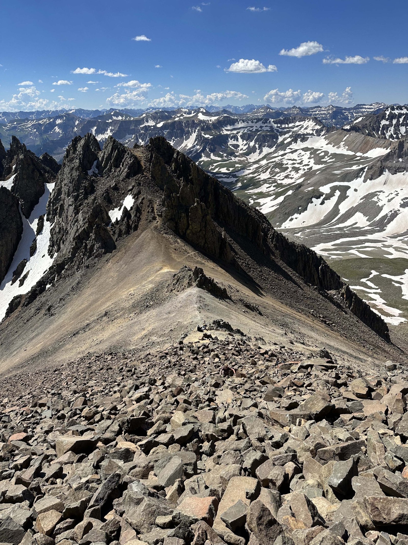
Then after climbing out of the couliour we arrived at the most well known part of this trail, the "V" shaped notch. Pre-2016 this portion wasn't that tricky or worth mentioning, but after 2016 that changed the difficulty of the trail from a "Class 2" to a "Class 3", one of the harder 14ers out there. This "V" shaped notch used to have some big rocks to make it easy to climb through, but in 2016 trail crews removed them and now you are on a very narrow ledge and have to step over a big gap with a 100-500' drop off to get to the notch.
After making it through the notch, we hiked about a 1/4 mile or so and were finally at the summit. Personally, I 100% recommend making it to the summit, even though just that one saddle had amazing views. This is because at the summit, you could see mountain range after mountain range any direction you looked! After retracing our path back down to Yankee Boy Basin (getting down the couliour was a bit sketchy, due to it being a 45° angle down and the snow being slush), we ended up getting back to the lower trailhead by 1:30PM.
Overall, looking back, this was the best trail we have done to date on this trip.
Comments